Facebook    YouTube   
 

| Home | Photography | Diary | Treks |

 
PreviousNext

Tierra del Fuego

Tierra del Fuego
Home > Travels > Pan-America South > Tierra del Fuego


About this Page

Date:


Location:

Country:


Latitude:

Longitude:

Altitude:

March


Tierra del Fuego

Argentina/Chile


52-55°S
67-70°W

0 - 320m ASL


Google Maps Link


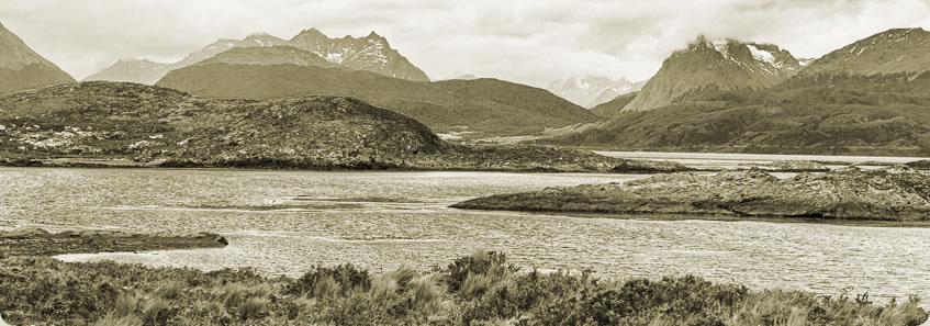
FERNINAND Magellan sailed down the length of the Americas in what would become the first circumnavigation of the world. Looking for a channel across the Amerciasin 1520, he eventually discovered what would become the Strait of Magellan separating the South American continent from it's largest offshore island and lead him into what he called "The Peaceful Sea", what we now know as the Pacific Ocean. As he passed through the strait, he noticed large bonfires the native locals were burning for cooking and keeping themselves warm in this hostile land. He named the island Tierra del Fuego - the land of fire.

This journey starts with crossing the Drake Passage before cruising through Beagle Passage to Ushuaia, the world's southernmost city. After exploring the city and Marshall Range I head north through the lowlands of the eastern side of the island, crossing the border into Chile and crossing the Strait Of Magellan onto the South American mainland.


Day 1 - Beagle Channel Ushuaia

ONCE covered by kilometre thick glaciers, the Tierra del Fuego archepelago. These glaciers carved out deep scars... more...


Day 2 - Martial Mountains

USHUAIA is wedged in between the Beagle Channel and the Martial Mountains, creating a relatively sheltered... more...


Day 3 - The Strait of Magellan

THE KING of the subantarctic islands around the world, the king penguin is the second largest species and appears... more...


PreviousNext


| Home | Photography | Diary | Treks | Archive |

 
© 2001-2020 walkaboutjeff.com - Copyright - Disclaimer - Who is Walkabout Jeff?