|
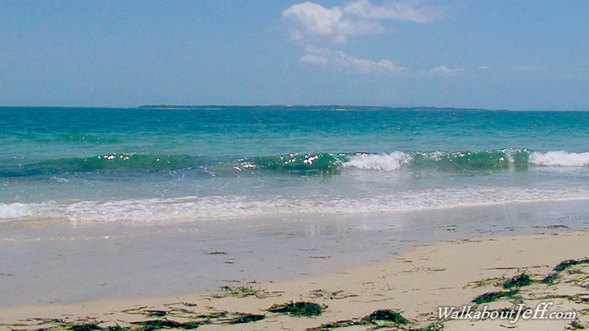
ON MY final day on North Stradbroke Island I reached Amity Point at the north western extreme of the island. This marks one of the breaks in Moreton Bay where the waters flow between the chain of sand islands cutting off the open ocean from the mainland.
Swift currents flow through the channel with the tides. On the other side of the channel is Moreton Island, so close yet so far away.
The hot sand on the islands creates thermals rising the humid air into small pockets of cloud. This was a sign of an approaching storm, which did pass through as the sun set on my way home.
|