|
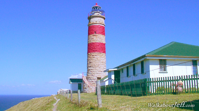
ALMOST all of Moreton Island is sand. Unlike the rest of the island, the north western corner is the remains of an extinct volcano. The eastern side of the volcano has completely eroded into the turbulent sea below leaving precipitous cliffs rising to the lighthouse.
The Cape Moreton lighthouse was built by convict labour from locally quarried rock in the 1800s.
The winter chill is accentuated by the buffeting winds blowing across the exposed lighthouse. From here there are spectacular views across the vast expanses of the Coral Sea. Large swells generated by the prevailing trade winds break on the treacherous reefs that lie under the cliffs.
|