|
||||||||||||||||||
|
||||||||||||||||||
Home > Diaries > 2005 > 8 |
||||||||||||||||||
|
||||||||||||||||||
|
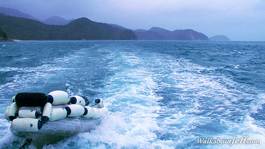
THE SKY over the Abel Tasman National Park grew overcast during the night with an approaching rain system. The placid waters of the park became more turbulent with the strong northerly wind blowing. I caught the launch back to Kaiteriteri passing the rugged granite headlands to return to civilisation after such a short trip. Blog from today: |
||||||||||||||||||
|
||||||||||||||||||