|
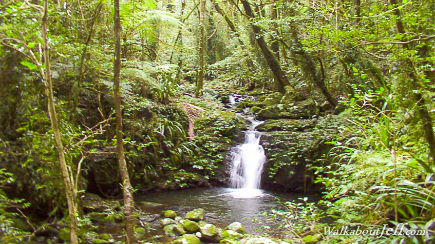
IN THE rugged mountains of the Lamington National Park on the Gold Coast hinterland is a trail that follows the Tooloona Creek. Following a steep descent from O'Rielly's the trial reaches the stream.
The trail follows the Tooloona Stream upstream passing numerous cascades and waterfalls. Each waterfall tumbles down the old volcanic rock sending water spray to keep the dense rainforest moist.
The volume of water gradually diminishes until the valley almost completely disappears when it reaches the top of the Border Range, where the forest changes from broadleaf subtropical jungle to Antarctic beech forest.
|