|
||||||||||||||||||
|
||||||||||||||||||
Home > Diaries > 2008 > 166 |
||||||||||||||||||
|
||||||||||||||||||
|
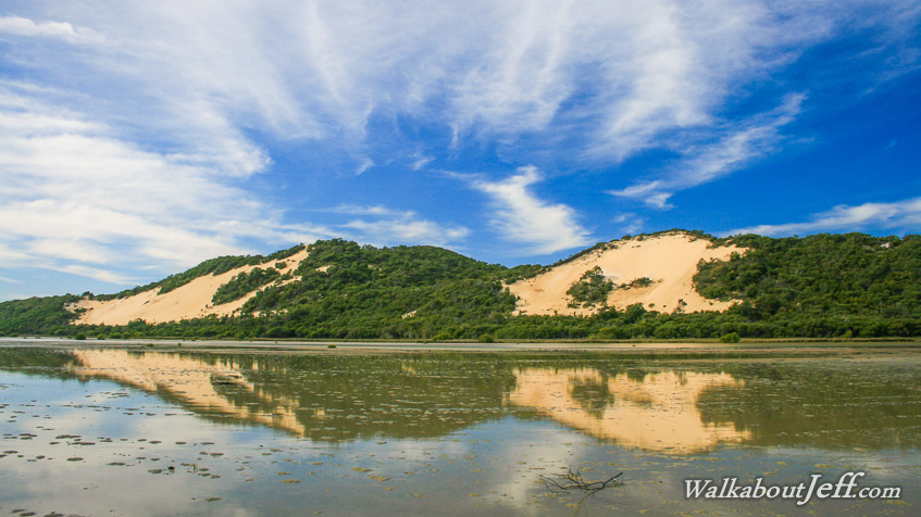
IT IS a relatively clear morning at Heath Inlet at the top of Moreton Island. Two large sandblows reflect perfectly in the ebbing tidal flat. The sand blows mark the top end of the 35 kilometres of sand hills that make up Moreton Island. Blog from today: |
||||||||||||||||||
|
||||||||||||||||||