|
||||||||||||||||||
|
||||||||||||||||||
Home > Diaries > 2013 > 331 |
||||||||||||||||||
|
||||||||||||||||||
|
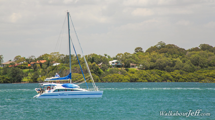
PRISTINE blue water flows into the southern entrance of Pumicestone Passage. Boats wind their way into the channel making the most of the relatively deep water during high tide, where they will be able to sail the entire length of the passage. |
||||||||||||||||||
|
||||||||||||||||||