|
||||||||||||||||||
|
||||||||||||||||||
Home > Diaries > 2014 > 355 |
||||||||||||||||||
|
||||||||||||||||||
|
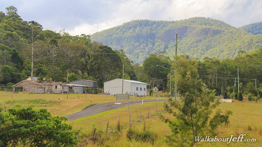
CEDAR Creek flows from the base of the D'Aguilar Range meandering through the deep valley towards Lake Samsonvale. In amongst the bush clad hills, the grassy valleys are used for farmland. It seems so remote here just an hour away from the centre of Brisbane. |
||||||||||||||||||
|
||||||||||||||||||