|
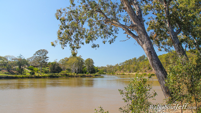
UPSTREAM from the city centre, the Brisbane River meanders placidly through suburbia. Native trees line the banks of the river holding the banks together in anticipation of the occasional flooding that occurs here.
The murky brown water flowed swiftly upstream with the incoming spring tide. The occasional boat sped past as families of picnickers basked in the warm sunshine in the nearby park that had once been the Darra Cement Factory, where coral harvested in Moreton Bay was processed into cement. The factory had been dismantled and the remaining land converted into parkland.
|