|
||||||||||||||||||
|
||||||||||||||||||
Home > Diaries > 2014 > 407 |
||||||||||||||||||
|
||||||||||||||||||
|
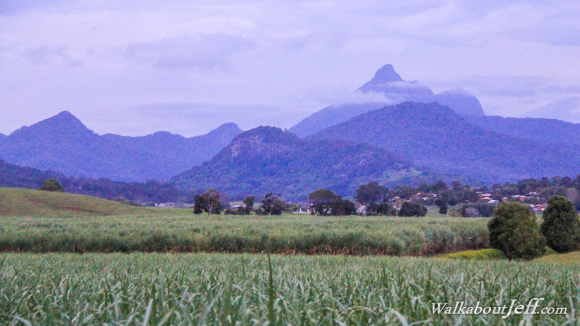
NESTLED deep inside the Southern Hemisphere's largest erosion caldera, the small of town Murwillumbah supports the fertile Tweed Valley. Fields of sugar cane occupy the pockets of flat land enclosed by the kilometre high walls of the caldera. The mysterious Mount Warning (pictured to the right) stands dominant as the plug at the centre of this now extinct volcano. The sun is setting behind the veil of cloud as a massive chorus of native parrots noisily settle in at high upon the tall stands of trees that line the Tweed River behind me. It is time for me to return to Murwillumbah, where I will be based for several days. Appropriately the name Murwillumbah is an Aboriginal word meaning camping place of the Murri (people from Queensland). Superblog from today: |
||||||||||||||||||
|
||||||||||||||||||