|
||||||||||||||||||
|
||||||||||||||||||
Home > Diaries > 2014 > 409 |
||||||||||||||||||
|
||||||||||||||||||
|
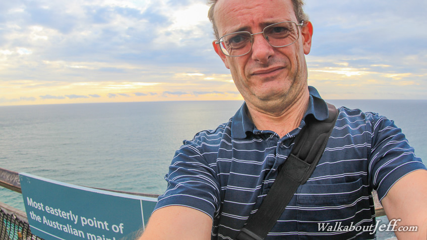
CAPE Byron is Australia's easternmost point. No trip to the cape would be complete without watching the sun rising out of the Tasman Sea. It was still completely dark when I arrived. Thick cloud covered the sky and a thick blanket of smoke from a bushfire covered Byron Bay. To my surprise there was quite a crowd of people already here under the lighthouse waiting in anticipation of the new day. After sunrise I explored the trail taking me to the small point that marks the easternmost point of Australia, and continued heading around the headlands to Byron Bay. Superblog from today: |
||||||||||||||||||
|
||||||||||||||||||