|
||||||||||||||||||
|
||||||||||||||||||
Home > Diaries > 2016 > 498 |
||||||||||||||||||
|
||||||||||||||||||
|
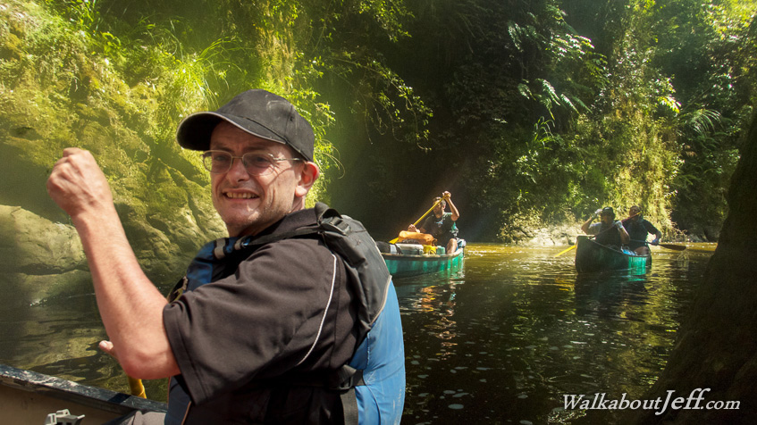
THIS was the first day canoeing on the Whanganui River, starting from Ohinepane beside the Forgotten World Highway a little downstream from Taumaranui, the group I was travelling with headed about 35 kilometres downstream through calms and rapids passing through native forest and farmland until reaching our first campsite at Maharanui. Here we diverted from the bottom of a rapid into a small dark ravine towards a small hidden waterfall from one of the many streams running into the main river. Trek from today: Blog from today: |
||||||||||||||||||
|
||||||||||||||||||