|
||||||||||||||||||
|
||||||||||||||||||
Home > Diaries > 2016 > 500 |
||||||||||||||||||
|
||||||||||||||||||
|
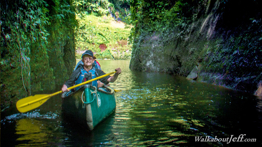
THE MANGAWAIITI Stream flows into the Whanganui River through a particularly deep chasm, just beside the campsite where we were to spend our third night. A local legend tells of a small Maori village around the existing campsite where the chief had a very beautiful daughter who was much desired. Prospective suitors would be sent into this chasm and the villagers would throw rocks at them from above. Surviving this chasm deemed the potential suitor worthy of marrying the chief's daughter. Trek from today: Blog from today: |
||||||||||||||||||
|
||||||||||||||||||