|
||||||||||||||||||
|
||||||||||||||||||
Home > Diaries > 2016 > 578 |
||||||||||||||||||
|
||||||||||||||||||
|
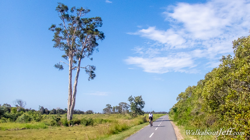
THE JIM Soorley bikeway follows the tidal reaches of the Kedron Brook from Nudgee Road up to Toombul Shopping Centre over a 7.5 kilometre length through abandoned wetlands. Brisbane Airport was just on the other side of the creek, with the occasional view through gaps in the mangroves. |
||||||||||||||||||
|
||||||||||||||||||