|
||||||||||||||||||
|
||||||||||||||||||
Home > Diaries > 2017 > 599 |
||||||||||||||||||
|
||||||||||||||||||
|
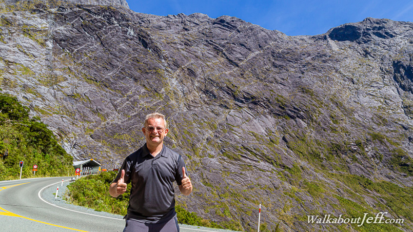
HEADING out from Milford Sound by road, the bus headed up the dramatic valley climbing moderately to a glacial cirque with walls of rock towering a kilometre above us. At the back of the valley was the entrance to Homer Tunnel at 800 metres above sea level. The tunnel is a single lane, now controlled by traffic lights. We had just missed the green light, so had about four minutes before moving on. The bus driver (who told me he was a photographer) took my picture here near the entrance. The tunnel rose moderately uphill to its highest point of 925 metres above sea level, over 200 metres short of the Mackinnon Saddle I had hiked over just a few days ago, but well below the 1375 metre high Homer Saddle sitting as a knife edge straddling the vertical walls of rock on either side. The tunnel has made this the road route into Milford Sound. From Homer Tunnel, I travelled the long road around to Queenstown, heading up the gondola just in time for sunset. |
||||||||||||||||||
|
||||||||||||||||||