|
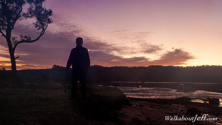
SWARMS of biting insects hovered around as I watched the eastern sky lightening over the forested hills of North Stradbroke Island across the channel. Numerous boats sat placid in the channel between the mud flats now exposed by the low tide.
The earliest rays of light captured the cirro-stratus clouds silently crossing the sky overhead as the morning dawned over Sandy Beach, the only strip of sand on the island.
From here I headed around the southern coast of the island following a swampy track through the Melomy's Wetland to Rocky Point, where the powerlines make landfall having crossed Main Channel from the mouth of the Logan River. From here I headed back towards the ferry at the top of the island following the road and several tracks passing through the Whilstling Kite Wetlands.
|