|
||||||||||||||||||
|
||||||||||||||||||
Home > Diaries > 2017 > 614 |
||||||||||||||||||
|
||||||||||||||||||
|
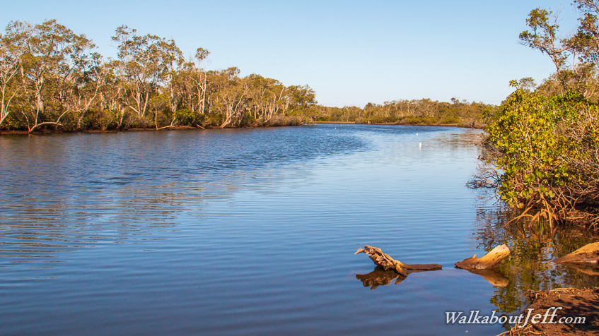
EXPLORING the northernmost end of the Gold Coast heading southward from Jacobs Well to Coomera, I passed large fields of sugar cane soon to be developed into residential area joining Brisbane with the Gold Coast. Approaching Coomera I crossed a narrow old bridge across the Pimpama River, silently ebbing from the midday high tide into the narrow channels winding their way around the uninhabited muddy mangrove islands of the southern end of Moreton Bay. |
||||||||||||||||||
|
||||||||||||||||||