|
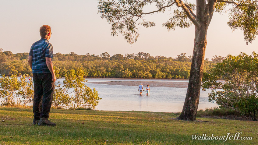
AN AFTERNOON walk along the mainland side of Pumicestone Passage from Caloundra took me along the southernmost part of the Sunshine Coast to Bell's Creek where several people were fishing in the outgoing tide.
Reaching Jensen Park not long before sunset, I had completed the entire 110 kilometres of track and beach from Tewantin, mostly following the Sunshine Coast Coastal Track, with a few diversions along the way.
Jensen Park and Bell's Creek marks the abrupt end to the residential and commercial areas following the entire coast from the Noosa River. Across the creek are seemingly endless mangroves and swampland sheltered from the open ocean by Bribie Island, which will be the next stage of my adventures along the South East Queensland coast.
|