|
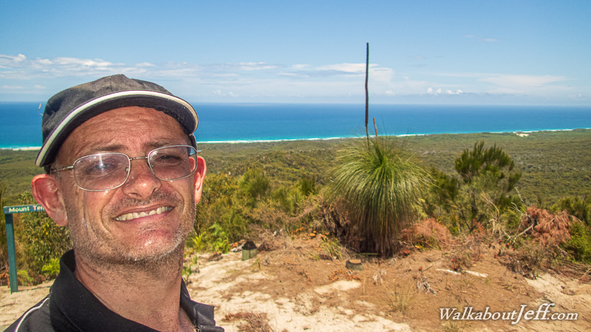
ALTHOUGH Moreton Island is only the third largest sand island in the world, it is the tallest. A track heads up from the eastern beach to its highest sand hill through tough gum forest able to withstand the intense subtropical heat. The forest clings to the soft sand making up the hills of the island.
I followed this track heading uphill to the top of the triangular Mount Tempest, 285 metres above sea level. From here I could see all over most of the island, and all of Moreton Bay across to Brisbane. The 360 degree view was spectacular from here, on top of the world's highest coastal sand hill.
|