|
STARTING from the village of Kooringal at the souternmost end of the island, I followed the west coast along a sand road through mangrove forest until it gave way to a large sand flat to the left and enormous sand hills to the right.
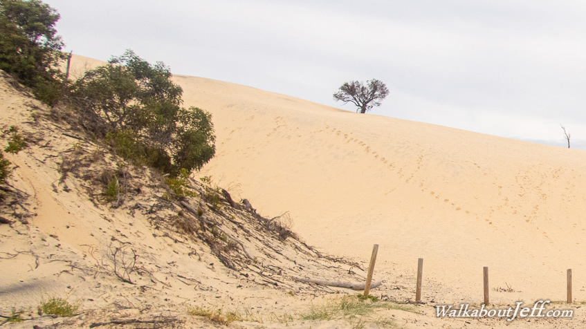
There are two sets of exposed sand hills, the Little Sandhills which stretch across almost the entire two kilometre width of this narrow end of the island, and the taller Big Sandhills going about half way across. These are huge sandhills in formation, burying forests as they advance to the west. These are barren deserts, apart from the odd hardy tree that has somehow survived, and also the footprints of those tough enough to climb these steep sandhills in the subtropical mid summer heat to slide down them.
I stayed at the nearby Big Sandhills Camping Ground, just to the north of Big Sandhills. There the tide came in over the sand flats and small waves lapped gently against the shore - very different from the ocean swell breaking on the eastern beach I have been familiar with in recent days.
|