|
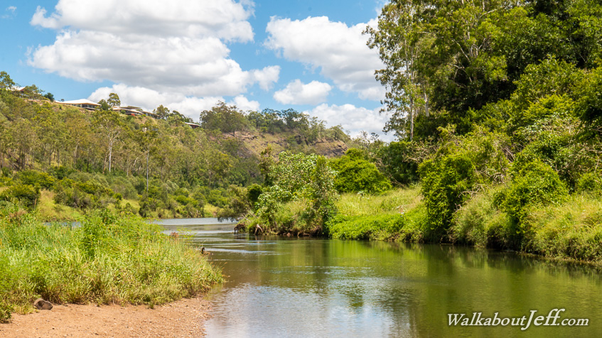
MY FINAL pickup session exploring the Brisbane River took me to Colleges Crossing, the most upstream part of the river affected by tides.
Brisbane River is tidal for about ninety kilometres up its meanders to about this point. From here up the remaining 250 kilometres to its source, the water is fresh, with levels impacted only by rainfall and outflows from the two dams further upstream.
On a normal day like this, the river here is surprisingly narrow and placid, but during major flood events this is a phenomenal torrent as it was during the 2011 flood where the water level rose 17 metres all but destroying the surrounding park.
|