|
||||||||||||||||||
|
||||||||||||||||||
Home > Diaries > 2018 > 714 |
||||||||||||||||||
|
||||||||||||||||||
|
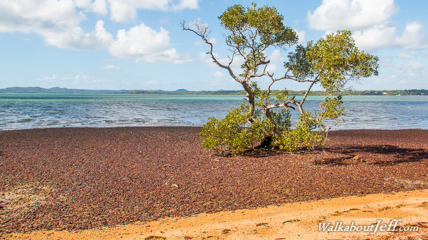
ARRIVING at Macleay Island shortly before Sunrise, I followed the 22 kilometre heritage trail clockwise around the island. Much of the track followed the quiet streets around the island, once a forestry settlement, now mostly residential. Small beaches spanned between the small headlands. Small forests of mangroves grew in the shallow waters of the bay. Occasionally the track would reach the location of an old forestry jetty, or an Aboriginal burial site or midden. Sometimes it would pass around a snake infested forest swamp and other times it would climb one of the numerous small hills now covered with timber houses. In the late afternoon, I took the ferry across to the nearby Lamb Island for the sunset. |
||||||||||||||||||
|
||||||||||||||||||