|
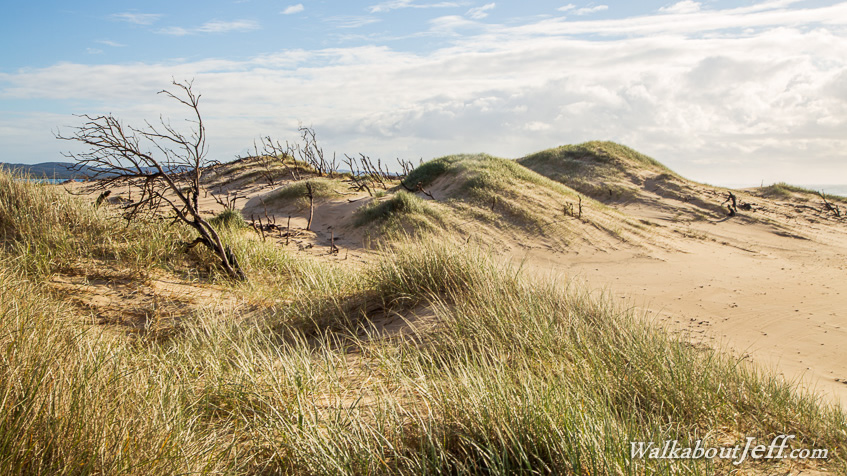
HIKING northwards along the track from Tipplers, I passed through forest and mangroves before the track was abruptly cut off by a large advancing sand dune. Climbing to the top of the steep dune, a sea of sand stretched out across most of the island only a couple of hundred metres wide from here all the way up to the top.
I followed the dunes for a few hours until reaching the top of the island at Jumpinpin where a permanent deep channel created during a big storm in 1896 separates it from the larger North Stradbroke Island.
From the top I followed the main beach southwards with Gold Coast City in the distance, until reaching a track back across the island to my base at Tipplers.
|