|
||||||||||||||||||
|
||||||||||||||||||
Home > Diaries > 2022 > 936 |
||||||||||||||||||
|
||||||||||||||||||
|
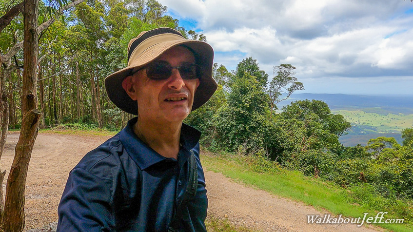
I HEADED up towards Mount Glorious at first light, continuing over the hill and parking at Wivenhoe Outlook. From there I head a short distance down the road to the start of Range Road where I had explored two weeks ago. Sun filtered through the eucalyptus foliage as I hiked along the dirt road along the ridge going around the hilltops and crossing the saddles. I needed to keep a steady pace with a long hike ahead of me. I was aiming to get up to Kluver's Lookout seventeen kilometres away and back. I had initially planned this to be an overnight trip with camping out somewhere, but decided being quite fit at the moment I would give this a go as a daytrip. I was carrying supplies in case I needed to make this an overnight trip, but at this stage aimed to make the entire thirty four kilometres in a single day. After nearly an hour I reached the junction I had turned off along Switchback Road last time. I was going quite fit, so without hesitation I continued along the main Range Road, rising a little more to about 620 metres above sea level. By now the ridge was running northwards, but soon after the highest points the track started descending and the range turned towards the west with a fairly long descent into a saddle. From here I could see through the occasional gap in the bush looking northwards towards the Mount Mee Plateau, and to the front of it was the hill of Kluver's Lookout standing dominant a long way off in the distance. Was I going to be abe to reach it today? After descending to the saddle, the trail rose moderately up the side of the next hill which rose almost to the height of the hills I had already climbed. I was now in the most remote part of the national park, following the ridge where what had been the Brisbane Forest Park met the Mount Mee Forest Park before they were combined to form the D'Aguilar National Park not so long ago. Part way up the hill I reached the junction where Goffey's Break joined with this track, having started at the Northbrook Road where I head reached last time I was in this area, climbing the first hill, then descending into the valley between here and there, and steeply rising to this track. That looked like a very rough track so I was glad not to have done this circuit when I did Switchback Track two weeks ago. The main track continued climbing moderately until it reached a low saddle and continued following the top of the range a little further to a junction. The main track turned off to the right to continue climbing, whilst the track heading staight ahead would continue a couple more kilometres along the top of the ridge to the summit of Mount Sim Jue. I continued following the main Range Road northward with the range now turning in this direction. The climb continued for about twenty minutes before going over low hills and grassy saddles. Then the track started a steady moderate descent down to a low saddle. The track here was rough but my progress was steady. I eventually reached the bottom of the saddle passing a gate to the Laceys Creek Road which wound its way up the hill from Dayboro up to this saddle where it reaches Range Road, and takes on its name as it continues up the other side. After resting at the junction, I continued following Range Road. The quality of this gravel road track was far higher than the ten kilometres I had hiked this morning, but needed to watch out for four wheel drives and motorbikes as I slowly ascended towards Kluver's Lookout. The road wound its way around the side of the steep hill, eventually reaching a small spur where a side road led down to a nearby helipad. From here I could see the top of Kluver's Hill towering quite high from here. I followed the road at a steady pace. The track was mostly good, but got a bit rough in places where it had been weathered. Eventually I reached the top of the ridge which the road followed winding its way around the forested hilltops and descending to the small saddles but continuing an overall ascent towards the lookout at the top of the highest point at this end of the range. I was getting close when the forest suddenly closed into dense rainforest. The track was in good condition but now being denied any glimpses of the top it was hard to tell how much further there was to go. Then suddenly I was at the top with an abandoned car park beside the road. Here I climbed to the tiny lookout on top of a mound of dirt to get views across the Dayboro Valley to Lake Samsonvale and towards Brisbane city. I rested at the top for a while before following a track to the nearby antenna station tower standing over a building covered in solar panels. I had completed seventeen kilometres and still feeling fit, so I decided to head back after a short rest. The long descent to the saddle was a lot easier than the ascent, with the track being of an ideal grade most of the way. I didn't stop at the saddle, but crossed the gate into the long walkway section of Range Road. It was a long climb up to Mount Sim Jue junction, seeming to take forever with my legs beginning to ache and the afternoon shadows filtering through the forest getting longer. Upon reaching the junction, I could quicken the pace descending towards the next saddle, then up to the hills approaching Switchback Trail. The sun set and the sky darkened by the time I reached the junction, requiring me to wear my head torch. I was still going strong so with less than four kilometres to go, I continued hiking through the forest in the dark moonless evening. I stumbled across a family of wild pigs foraging on the track but they quickly sped off as I approached. I returned to my start point at Wivehoe Outlook about an hour after dark, still going strong after hiking thirty four kilometres, but I was very relieved to have finished this very long hike. |
||||||||||||||||||
|
||||||||||||||||||