|
||||||||||||||||||
|
||||||||||||||||||
Home > Diaries > 2022 > 950 |
||||||||||||||||||
|
||||||||||||||||||
|
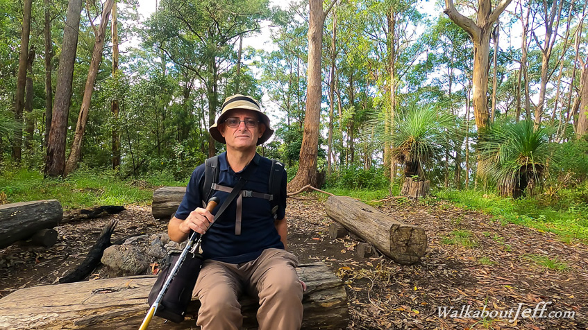
HEADING up to the top of Mount Glorious, I parked at Maiala before crossing the road and taking the Western Window Track through the dense rainforest to the lookout. There is another track leading from here towards Northbrook Ridge, but the track was closed due to a landslide from the recent flooding. Fortunately though there was enough space to walk along the road. After two kilometres, I reached the Lawton Road entrance heading towards Northbrook Ridge. I followed this firebreak road descending through dense rainforest before it cleared into eucalypt forest. I followed the firebreak descending moderately along the start of Northbrook Ridge to a low saddle as thick cloud enveloped the forest. The road continued descending around the side of the rapidly rising Northbrook Mountain once across the saddle. The cloud quickly cleared and the sun began to come out. The track wound its way around sharp spurs and gullies. Large cracks appeared in the dirt road in the gullies from all the rainfall of the recent floods. Fortunately the road had held and no large sections had slipped, but any more heavy rain could wash these sections of road down the steep gullies. Fortunately no rain is forecast for today. At some point the track began ascending again. The terrain was very steep with rock towering to the left towards the top of the very steep Northbrook Mountain. The road continued rising until reaching a junction with a watertank. Here I turned left and followed the England Creek Road for a short distance before the Northbrook Mountain Campground walking track ascended along the top of the ridge. I followed this track for a couple of hundred metres to the camping ground. The Northbrook Mountain camp was very basic - just three cleared camping spots. Unlike the other camps I had stayed in previously along the range, there was no shelter here. Tall trees provided some shelter, but being along the top of the ridge made this a very exposed camping ground if the weather were to turn bad. After resting at the camping ground, I followed the track back to England Creek Road and a little further back to Lawton Road, which I turned and continued following along the top of the ridge descending for another two kilometres before I reached a junction. At this point the main track ascended to the nearby top of a low hill. The Cattleyards Break descended off the top of the ridge. I followed this track moderately descending from the top of the ridge down a long spur. The descent was moderate in most places except for a couple of steep sections. It wasn't as steep as a lot of the other breaks I've done along the range recently. The bush was quite thin allowing some good views across Northbrook Valley to the hills beyond. Eventually I reached the bottom of the valley where Northbrook Creek flowed through a barren gravel bed having had all the vegetation except the biggest trees stripped away by the recent floods. A short distance downstream the stream came out of a large culvert under the main road heading down from Mount Glorious towards Lake Wivenhoe. This was the point where it had finished descending from the top of the range. After resting at the creek, I began the long hike back up the hill, with over 500 metres of climbing back to Mount Glorious. The hike up Cattleyard Break was long, and I was relieved to reach Lawton Road, even though there was still a bit of a climb ahead of me. I passed a couple who were trying to get into Northbrook Gorge but had missed the track from the other side of the camp. After chatting with them they decided to return to Mount Glorious. I returned to the Northbrook Mountain Camp where I rested for a while before continuing to follow the partly overgrown track along the ridge. About half an hour later I reached the summit of Northbrook Mountain from where I had excellent views across the Northbrook Valley and over the next ridge seeing the hill of Kluver's Lookout and the Mount Mee Plateau in the distance. I rested just under the rocky summit for about twenty minutes before returning along the track back towards Mount Glorious. Following the road under Northbrook Mountain, it was easier going with heading downhill. I found the Northbrook Gorge track marked with a pink ribbon, but continued along the dirt road as it was starting to get quite late in the afternoon now. The road began a moderate climb under overcast skies. Eventually the track entered the rainforest and shortly afterwards I reached the Mount Glorious Road, which I followed back to Western Window, and followed the track back to Maiala. |
||||||||||||||||||
|
||||||||||||||||||