|
||||||||||||||||||
|
||||||||||||||||||
Home > Diaries > 2022 > 971 |
||||||||||||||||||
|
||||||||||||||||||
|
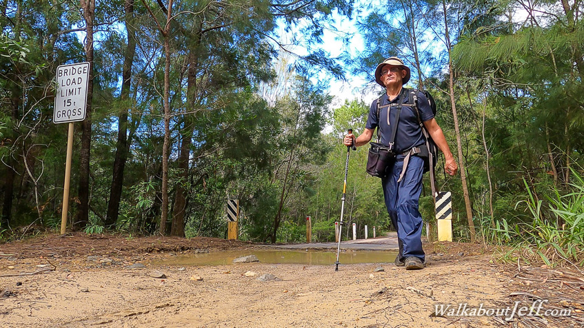
I WOKE up well before first light photographing the stars and watching Jupiter and Saturn rise very close together. The sky gradually lightened before the sun rose in between distant clouds at the end of the waterhole. Once the sun was risen, I started following the track back towards Wandi Waterhole, but upon reaching the junction, I continued following the rough service road, a dirt track continuing along the Noosa River before turning off and crossing the lowlands over a stream and through the forest to eventually reach Cooloola Way. Upon reaching the road, I turned left and started following it. The road was mostly gravel road in good condition but there were a few areas that were badly eroded. The road descended to pass a long area of heathland with scrubby trees blocking much of the view. A few low clouds were now covering the sky as I continued along the road, eventually descending over a small single lane bridge crossing the Noosa River. This is the only bridge across the river, being on this very remote road with an 18 tonne limit. Heavier vehicles can take a side road and cross a nearby ford. From the Noosa River, I continued following the road now heading uphill along a ridge through gnarly gum forest with sections of the soil very red. The road went up and down a couple of hills before reaching a row of telegraphs, along which the rough dirty track Telegraph Road follows. I decided this will be as far as I go today, with this point being the end of another day's hiking from further up Rainbow Beach Road. After a short rest, I returned along the road, descending to the Noosa River. I decided this time to have a look at the ford. The road dropped very steep particularly on the other side, so I couldn't imagine any heavy vehicles being able to negotiate this rough road. I returned to the bridge crossing it and continuing the hike along the road now under overcast skies. I eventually reached the junction to the rough Neeb's Service Road, which I followed back to the junction then back to the camping ground where I rested for the remainder of the day. |
||||||||||||||||||
|
||||||||||||||||||