|
||||||||||||||||||
|
||||||||||||||||||
Home > Diaries > 2022 > 977 |
||||||||||||||||||
|
||||||||||||||||||
|
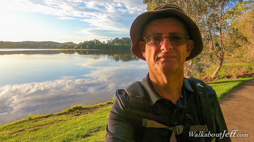
ABOUT half an hour before first light, I left Sunrise Road heading back down to Noosa Road and heading out to Cooroy from where I headed to the nearby Noosa National Park. I entered the park under the total darkness with my head torch and found the ampitheatre overlooking Lake Mcdonald. Here I set up the camera on a tripod to capture the dawn over the lake. The early dusk was bright red from the ash of the Tonga volcano. The bright Jupiter and Venus, and less bright Mars and Saturn led the sun to gradually rise lightening the dawn and brightly illuminating the small clouds. Once the sun had risen, I explored the botanical gardens above the mirror smooth lake before following it to the north towards the dam. From the road I could see quite a flow of water tumbling down the spillway indicating the lake is still over capacity from all the recent rain. The water flowed into Six Mile Creek. A short distance past the dam I saw a track entering the forest. This was the start of trails 4 and 7 of the Noosa Trail Network - a network of horse, bike and walking shared tracks covering much of the Noosa Hinterland. Trail 7 was closed due to all the logging occurring in nearby Yorol State Forest, but trail 4 was open. I followed the combined track through the forest for about ten minutes before coming back out along the side of the road, where the track continued through the grass, with trail 7 crossing the road and heading off along another road. Trail 4 re-entered the forest. I followed this track which descended for a few minutes before turning towards Six Mile Creek. After another short drop the track reached quite a boggy area which I managed to get through until reaching near the creek which was quite flooded, so I couldn't get through. I returned to the botanical gardens and drove up to the end of Old Tewantin Road where it enters the forest. From here I followed the road back towards the lake, but continued following it marked with all the Trail 4 markers marking the Wahpunga Track. The road was sealed for a couple of kilometres passing through a residential area before following a side dirt road which divided into two. The track went in either direction, but I took the Old Coach Road, or known as the boggy road these days (hence why a lot of people take the other direction). Old Coach Road was initially dry until I had to cross over a fallen tree. After that it did become quite boggy with numerous creek crossings in the wetland rainforest. There were a few more fallen trees but the track remained easy to follow despite being a bit flooded in parts. Eventually the track crossed a larger creek (which wasn't flooding) and rose to the junction of the other route. From here I followed the combined track following a four wheel drive road which ran above Six Mile Creek before turning off and heading up a hill. The tall forest cleared to farmland, and the track turned to follow a dirt track between two farms, a cattle farm to the left and a macadamia farm to the left. The track rose in between the farms for some distance before entering the forest again, then going up and down over a few precarious bridges and steep climbs. After quite a while of this, I reached a gravel road which led to the Louis Bazzo Road. I crossed over to where the track re-entered the forest. I decided this would be as far as I go today, and will return here from another direction another day. From here I hiked the four hours back to the end of Old Tewantin Road. Upon reaching the junction, I followed the other route back, which despite being dryer, was quite a bit longer going up a hill into the Ringtail State Forest. The track going back to the other junction ended up following another quite boggy path anyway. It was mid afternoon when I did eventually return to my starting point at Old Tewantin Road, noting the track continued from here and will do that one at a later stage. |
||||||||||||||||||
|
||||||||||||||||||