|
||||||||||||||||||
|
||||||||||||||||||
Home > Diaries > 2022 > 979 |
||||||||||||||||||
|
||||||||||||||||||
|
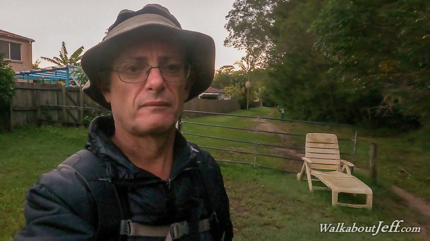
STARTING at one of the entrances of the northern end of Tewantin National Park, I started hiking before first light back along Golf Course Road to the Wooroi Day Use Area, where I captured the first light of dawn. From there I hiked back along the road to the park entrance where a large sunchair stood next to the entrance. Once entered the park, I followed a long and straight firebreak heading westward through the tall forest, crossing a couple of short tracks which will soon form part of the Weyba Trail, running from the coast at Marcoola passing Lake Weyba, and heading inland to here to meet Old Tewantin Road. I had considered following this exact trail today, but that would involve some hiking along a main road (the one I reached yesterday). I've opted for a different route today that would be more interesting. After a long level hike, the track started climbing the lower slopes of Mount Tinbeerwah. It rose for a while before dropping to cross a creek. Then it started rising steeply along the side of the hill for about half an hour before reaching a junction where an easier grade track crossed. I followed this easier track continuing uphill after a brief saddle. Another quarter of an hour passed before I reached the sealed Mount Tinbeerwah Road. I followed the road rising moderately along the side of the hill until reaching the end of the ridge, where it doubled back and followed the top of the ridge southwards towards the summit. A few more minutes passed before I passed a firebreak marking the start of the Mount Tinbeerwah Goat Track which I decided to follow after reaching the summit. Another five minutes passed before I reached the day use area and carpark, from where the walking track to the summit commenced. I followed the stone paved track through short scrub and large areas of exposed rock rising moderately with steps up the steeper sections. There was hardly a cloud in the sky to block the amazing views looking east towards Noosa Heads and the Cooloola Sandblow, and looking the other way towards Lake MacDonald and the Eumundi and Blackall Ranges. About ten minutes up the track I reached the edge of the cliff dropping about two hundred metres into the bush below. A sturdy fence followed the track. On the other side of the fence were quite a few people setting up for abseiling for the morning. I continued following the track rising uphill until reaching a covered pagoda at the summit from where I rested and took in the 360 degree views around the Noosa, Cooloola, Eumundi and Kin Kin areas, with views all the way down to the peaks of the Glasshouse Mountains. After resting at the top, I started the walk down the track back towards the road. It took about twenty minutes to reach the day use area where I rested for a while before following the road to the entrance of the goat track. The firebreak rose to the top of the ridge and followed it gradually descending for another fifteen minutes before reaching a small clearing where a large lean-to had been built from all the dead wood in the area. This was where the firebreak ended and the walking track begun. The track was quite rough and a bit overgrown. Quite a few small trees had blown over the track making it a bit of an obstacle course as I descended through the forest. The bush was open eucalypt with a few exposed areas of rock in the steeper sections. Far below me I could hear the barking of a dog I had heard yesterday from Old Tewantin Road, so was able to estimate how far to go to the road where the track ends. The rough track continued winding its way downhill until reaching a very old sign pointing back in the direction I had come, saying there was a waterfall about a kilometre away. This must be on a side track which I hadn't picked up. From the sign the track continued steeply downhill but quickly evened in slope as the undergrowth thickened. After following a dried out flood channel, I reached a small clearing with several bee hives. I continued following the track through the bush around the clearing to suddenly come out at the junction at Old Tewantin Road where it was blocked off and closed. Despite being closed, a couple of trail bikes hooned past entering the closed road. I rested at the junction for a while before heading back up the track. It seemed easier navigating my way up the track this time, though I did get off the track briefly at one stage past the waterfall sign, but quickly found it again. I continued following the track uphill through the very quiet bush until I could hear some loud crashing of bush ahead. Thinking perhaps it was a large kangaroo, it ended up being a cyclist who had stopped to clear one of the fallen trees off the track. I helped him for a few minutes explaining there were a few more fallen trees further down the track. I think he was local as he knows the track well. After parting ways I continued heading up the hill, making quick progress now all the fallen trees had been removed. I stopped at the lean-to shelter, when another cyclist rode past stopping and asking if this was the goat track to Old Tewantin Road. He had found this track using Alltrails - exactly the same as me. I described the track further down and where to turn along Old Tewantin Road and continue to the lake - along much the same way I had taken yesterday. After resting, I headed up along the firebreak back to the road, and followed it back to the tracks I had followed this morning. The first cyclist sped past me along the steepest section of the descent towards the straight firebreak track. There were a few other people running along the track, mostly locals I think. Upon returning to the end of the track at the large sunchair, I decided with still plenty of daylight left, I headed up to the top of another hill along Sunrise Road from where a side road led to the start of a track heading down the hill. After about half an hour I reached the long clearing I had come to a couple of weeks ago with the power lines running along them. This is as far as I had come last time, and the track I had seen heading further up the hill was the one I had just taken down. I rested at the clearing looking down towards Noosa before returning along the track and heading home. |
||||||||||||||||||
|
||||||||||||||||||