|
||||||||||||||||||
|
||||||||||||||||||
Home > Diaries > 2022 > 981 |
||||||||||||||||||
|
||||||||||||||||||
|
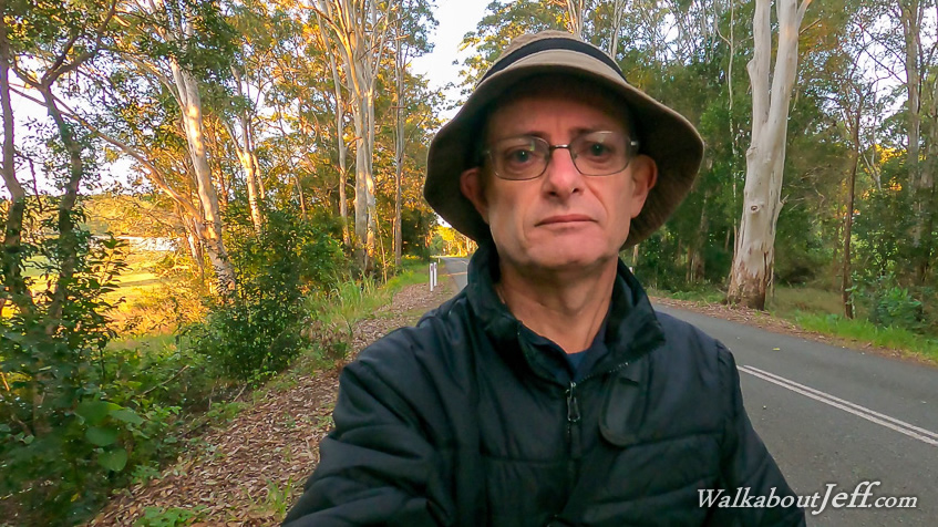
STARTING from the old Wahpunga School Site, I decided to go for a relatively short walk this morning (12km compared to yesterday's 28km) before heading home. Leaving at sunrise, I followed the side of the road crossing a bridge over Kin Kin Creek and continuing through the bush before it cleared to flat farmland. I continued following the road through the farmland through a very long straight section of road. This abruptly came to an end as the seal turned to gravel and the road started a steep ascent through rainforest winding its way between the spurs. After about a hundred metres of climbing over a kilometre, the road reached the top of the low plateau and continued in a roughly straight line. I continued following the road through the eucalypt forest until reaching a junction at the start of Cooloola Way, where I had hiked a section of at its far end. Here I saw a good parking spot for a future hike from here into the lower end of the Cooloola Wilderness Trail. I rested here for a few moments before returning along the road down the winding hill and across the farmland back to the Wahpunga School site from where I headed home. |
||||||||||||||||||
|
||||||||||||||||||