|
||||||||||||||||||
|
||||||||||||||||||
Home > Diaries > 2022 > 985 |
||||||||||||||||||
|
||||||||||||||||||
|
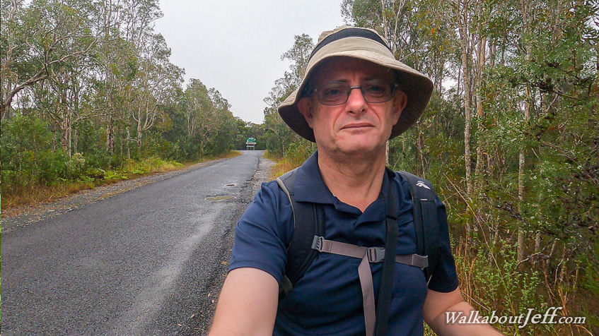
HEADING north from Brisbane for a week's exploration in the Great Sandy National Park, my first stop was at the northern entrance to Cooloola Way. The rain had stopped falling by now, so I started hiking from the junction along the rough dirt road with some recent very large gravel laid over a few spots that had been badly damaged in the flooding earlier this year. A hundred metres along the 4WD track I spotted some luggage beside the road. The two large bags were just sitting there most likely fallen off a vehicle as it negotiated its way along the rough road. I continued walking along the road passing through lowland swamp with paperbark trees running along either side. A bridge crossed Teewah Creek, about ten kilometres downstream from the headwater streams I had crossed shortly after departing Mullens at the start of the Cooloola Wilderness Trail. The combined stream was more substantial here. Once across the stream, the road started rising along a couple of low hills covered in gnarly eucaluptus trees. About three kilometres along Cooloola Way, I reached the junction of Teewah Pump Road with the row of telegraph poles where I had reached from the other direction a few weeks ago. From here I followed the rocky road descending towards the next valley, turning off along the Mount Bilewilam Break after 600 metres. The four wheel drive track was closed to vehicles - not that I'd seen any apart from one ute carrying a few dogs (not allowed in national parks...) bouncing along Cooloola Way. I did see recent tyre tread along the softer patches of the track, so a ranger would have perhaps come through here over the past week. The track gradually descended through the forest before reaching a swampy open area at the bottom of the valley. It crossed a small wooden bridge across the western branch of Teewah Creek, which had turned around from its initial northward course to a new southward course where it will continue downstream for a few kilometres to meet the Noosa River. Once across the stream I negotiated a couple of junctions (thankfully I had a good map) to turn off along Wildflower Road, another dirt track with a gate across it. Passing the gate I followed the road crossing the eastern branch of Teewah Creek starting near Rainbow Beach and flowing down to here before meeting the western branch in another hundred metres downstream. Once across the bridge, the dirt track became a brilliant white sand heading through banksia heathland gradually to moderately ascending the start of the Cooloola sandmass. The road lived up to its name with brilliant colouration of yellow and purple of the different flowers in bloom. This is the best time of the year for exploring this area due to the wildflowers and this is a good year due to all the rain earlier this year. Eventually I reached a gate which had been bashed in by a vehicle trying to access this road. I crossed near the gate onto the much wider Western Break, which is normally the main four wheel drive road around the Cooloola Sandmass. Fortunately there were no vehicles today as the circuit is closed due to some construction on another part of the road. After crossing the road, I continued along Wildflower Road which quickly began a steep ascent up the main mass of the Cooloola Sandmass. The forest became tall and thick, but I managed to get some good views back across to the lowlands I had come from as I struggled up the soft sandy track which I imagined would be very difficult for any vehicle to negotiate. Finally I reached the top of the steep section. By now the forest was very tall and dense. I continued following the road along a gradual uphill until reaching the top of the range, where the Cooloola Great Walk crossed. I had now successfully linked the Cooloola Wilderness Trail with the Cooloola Great Walk. I rested at the track junction in the quietness of the forest for about half an hour before descending the track back towards Rainbow Beach Road, about 12 kilometres away. Once on the other side of Western Break I took the Wildflower Road slowly to photograph all the amazing masses of flowers. Eventually I returned along Cooloola Way a little after sunset. Cloud had covered the sky all day with no sunshine at all. From the junction I headed into Rainbow Beach for the night. |
||||||||||||||||||
|
||||||||||||||||||