|
||||||||||||||||||
|
||||||||||||||||||
Home > Diaries > 2022 > 986 |
||||||||||||||||||
|
||||||||||||||||||
|
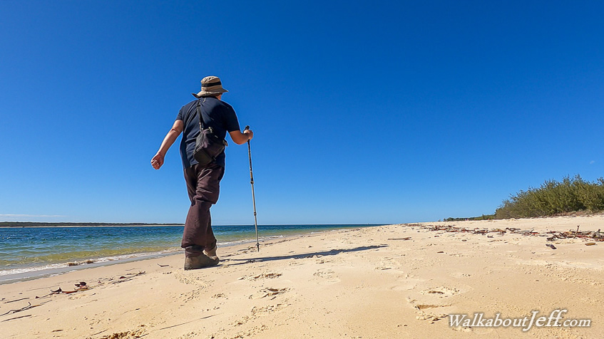
THE MORNING dawned clear without a cloud in the sky, a big contrast to yesterday's overcast conditions threatening rain (though no rain had fallen). I started with walking up the road to the start of the Cooloola Great Walk in the early morning. It was a steady walk up the hill to the car park and the start of the track. From there I headed back down the road back to the village, taking the route I will be taking at the end of my main hike in a few days time. From Rainbow Beach, I headed back along the road to an unnamed track a couple of kilometres past Cooloola Way. I explored the track discovering a hidden part of Teewah Creek and photographing the flowers and heathland forest in the bright sunshine in stark contrast to the gloomy conditions of yesterday. It was pretty quiet here apart from the same ute with the dogs suddenly passing me at one stage - perhaps leaving the park now having been spotted twice. Upon returning to Rainbow Beach Road, I headed up towards Inskip Point initially stopping at the Bullock Point Jetty along the calm waters of Tin Can Bay. After briefly looking around the busy jetty, I headed back to the main road and parked up near the end of Inskip Point Road just before it becomes sand road for the four wheel drives to head out to the point to catch the ferry across to Fraser Island. From the road I headed to the beach at the end of Tin Can Bay and walked along the beach towards the ferry, crossing the sand as a ferry headed across to the island. I reached the beach on the other side where small waves were breaking from the deep channel linking the back end of Hervey Bay with the Coral sea. The dunes of Fraser Island was a little over a kilometre offshore. I started following the beach rounding a small bay where a landslide had collapsed into the deep water a few years ago, taking a camping ground with a couple of tents and a car with it. Fortunately everyone staying there at the time managed to escape uninjured. Several dead trees covering the beach were all that remained of the slip. Once around the bay, I reached the top of Inskip Point, the northernmost point. From here I continued following the beach as the distant cliffs of the Coloured Sands past Rainbow Beach and Double Island Point came into view. The tide was almost full now making access along the soft sand a bit difficult. I reached the far end of one of the camping grounds and headed into the entrance crossing to the road, which I followed. Following my walk around Inskip Point, I headed back past Rainbow Beach to Mullen's Car Park where I started the first section of the Cooloola Wilderness Trail photographing the brilliant flowers in the late afternoon sunshine until the sun went down. |
||||||||||||||||||
|
||||||||||||||||||