|
||||||||||||||||||
|
||||||||||||||||||
Home > Diaries > 2022 > 989 |
||||||||||||||||||
|
||||||||||||||||||
|
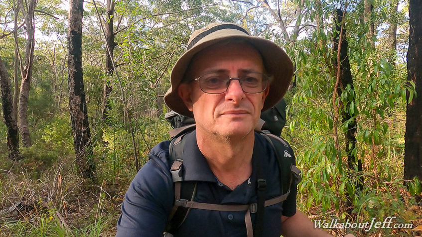
THE MORNING dawned clear but I decided on a slow start, waiting for most of the others to set off on their final day of hiking towards their destination at Rainbow Beach. I packed up and left the camping ground returning to the main track and setting off along the long section towards Litoria, 20 kilometres away. Initially going through rainforest, the track rose over a low saddle to descend to cross a sand road before continuing downhill into a valley of cedar forest. After a fairly lengthy gradual descent the track rose moderately to the junction of Brotha Scrub Road, where I stopped and relaxed for a while. The couple who had come from Rainbow Beach arrived shortly after me, having left the camping ground shortly after I had left. They had come from Fortitude Valley, and had parked at Noosa getting the bus up to Rainbow Beach. They continued along the track whilst I continued resting. Leaving the dirt road, the track descended into a gully dropping into another rainforest. Upon reaching the bottom of the gully, the track turned westward to follow a long valley through the rainforest. Shortly after starting to head up this valley, I passed the couple resting on a log. I continued following the track through the dense rainforest for quite a while before it started to morph back into eucalypt forest as I headed up to the top of the ridge marking the top of the range. The track moderately rose along the top of the range before the bush thickened and I reached the junction with Wildflower Road, where I had reached a few days ago when I had come up from the lowlands at the top of the Noosa everglade. After resting at the junction, I continued along the walking track following the top of the range with the occasional glimpse of the lowlands below. The forest gradually thinned and the track steepened as I decended to a plateau. The track turned left to follow the top of the plateau for several kilometres through the scrubby forest. Much of the scrub was in flower, with bright patches of yellow and purple to break up the otherwise uninteresting forest. After several kilometres following the top of the plateau, the track turned and began a decent along a valley to eventually reach its bottom at Francis Gulch Road, another sandy road crossing the sandmass. Upon reaching the bottom I crossed the road and rested on a log. At the end of my rest I spotted the couple coming down the hill on the other side and resting on a log over there. From here I started the moderately steep ascent up the next hill, crossing a couple of low summits and a saddle before dropping down the other side into cedar forest. The track continued descending until reaching above Lake Cooloomera. A rough side track led to the edge of the lake. The forest stopped right at the water's edge with reeds covering all but the middle of the lake. After a brief stop at the lake I continued along the track until reaching King's Bore Road, crossing over to the other side and following the track up the next hill to the top of the low ridge where I reached a junction. Turning right, the side track followed the top of the ridge for about fifty metres before reaching a clearing marking the communal area of Litoria camping ground. Like Kauri, this had wooden platforms with large metal containers for securing food. To the left a short path led down the hill to a toilet and water supply identical to the one at Kauri. I continued following the track along the ridge until reaching the camp sites. I looked a a couple of them with one having some tracksuit pants left perhaps by one of the couples last night at Kauri. I selected one of the other campsites and set up the swag. Shortly afterwards the couple arrived. We were the only people at the camping ground tonight. With time to spare, I returned along the track to King's Bore Road which I followed for about two hundred metres to where a side track led down to the lake. I explored the lake edge briefly before returning to the camp before dark. |
||||||||||||||||||
|
||||||||||||||||||