|
||||||||||||||||||
|
||||||||||||||||||
Home > Diaries > 2022 > 1007 |
||||||||||||||||||
|
||||||||||||||||||
|
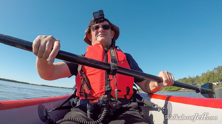
I WATCHED the sunrise from Military Wharf at the Sunshine Coast's Pelican Waters. Once the sun was up, the tide was almost completely out and the current passing the wharf had slowed down. I pulled the kayak onto the beach and boarded, heading southward along the coast a couple of hundred metres before crossing over the kilometre wide Pumicestone Passage. The deep channel only lasted about two hundred metres before I was paddling over shallow sand and mud banks, with some parts sticking out of the water a couple of hundred metres away. The small keel occasionally dragged in the mud as I paddled across to a small deep channel on the other side. The very shallow water here would guarantee no boats coming through here. Once I reached the other side, the channel deepened allowing me to start following the coast of the island northward. The sun had been in my eyes crossing the channel but I was now able to see along the island. Two hundred metres along the coast I could see a clearing through the mangroves. This was the Lions park I was looking for. I paddled up to an oyster bank just past the entrance and took the kayak on top of it, well over a metre above the water level and won't be inundated for at least another three hours. I headed across the oyster bank to the hard sand under the mangroves and walked up to the park. A covered shelter with several picnic tables and a small toilet block were at either end of the grassy clearing. I stayed here briefly before following a short track to the ocean beach on the other side. There was nobody else on the beach up here as vehicles are restricted to about five kilometres south of here. I walked northward seeing Caloundra just a couple of short kilometres away. The beach had been badly eroded with the remains of dead trees lying over the sand. The top of the sand dune was only a metre or two above the maximum tide line and has been eroding away in recent years. About half a kilometre up the beach from Lions Park I reached the start of the channel which had broken through the thinnest part of the island during a storm in January this year. The main channel from the island into Pumicestone Passage was already deep and well established. A second channel was being carved at each high tide about a hundred metres to the south of the main channel, but I was able to walk across the smaller channel. This whole section of island was being eroded away with the northern part of Pumicestone Passage filling with sand. The section of island north of the channel can now apparently be walked across dry sand at some of the lowest tides. From the channel I walked back to Lions Park. The sand dune along this entire section of beach was very thin and the sea is likely to break through over the next couple of years. The entire beach has been eroding away in recent years. Upon returning to Lions Park, I rested here for a while before bringing the kayak down into the water and paddling back along the channel beside the island before clearing the banks allowing me to cross back over Pumicestone Passage. Upon reaching the shore of the mainland, I turned southward and paddled along the coast for a few hundred metres to the mouth of Bell's Creek, marking the bottom of the Sunshine Coast. Here I turned around and paddled back up to Military Wharf, where I packed up the kayak before heading back down the Bruce Highway, then along Bribie Island Road to Bellara where I found a park on First Avenue. From here I walked across the island along a well formed concrete path running parallel to the road heading across the island to Woorim. The bush was tall thankfully giving shelter on this very warm and sunny day. After about seven kilometres the path reached Woorim, the main town on the exposed east coast. The town was very busy with a lot of people coming to the beach. I stopped here for lunch before heading out to the very crowded beach. The tide was in by now leaving only a few metres of sand. The beach was very busy for about a kilometre as I headed south into the entrance of Moreton Bay. Once I had cleared the town and the beach became a bit difficult to navigate around numerous fallen trees, there were far fewer people. Once I had cleared the trees, including one trail I had to track a little inland, the beach became quiet. I hiked around the point into Woody Bay, and walked along its length as the tide started going out. Heading around the next point I started following the long Red Beach, which had largely eroded into the forest of tall trees but I was able to head along it uninhibited. There were quite a few people on this beach due to a few sand tracks heading south from Bellara. The waves were very small here now I was in the shelter of Moreton bay, with Moreton Island towering in the distance on the other side of the bay. Upon rounding the next point, Moreton Island disappeared behind me and I could see along the entire length of the D'Aguilar Range which I had hiked along earlier this year. The range seemed very small and blue in the distance. I was now heading almost northward into the southern end of Pumicestone Passage, about two kilometres wide here. I passed the interesting sand formations around Buckley's Hoes before reaching the footpath at the southern end of Bellara. I followed this path back up to 1st Avenue to complete the circuit before heading home late in the afternoon. |
||||||||||||||||||
|
||||||||||||||||||