|
||||||||||||||||||
|
||||||||||||||||||
Home > Diaries > 2022 > 1009 |
||||||||||||||||||
|
||||||||||||||||||
|
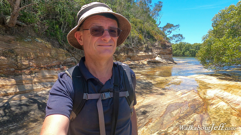
STARTING the morning at first light at Sunset Point on Bribie Island, I follow the path above the beach for a couple of kilometres before I reach the bridge. Here I cross along the very narrow footpath which does have several passing points from where I take pictures of the Pumistone Passage and the distant Glasshouse Mountains. Upon reaching the other end of the bridge, I step onto the mainland and follow Bribie Island Road for another half kilometre before crossing over and heading into Sandstone Point. I pass through the newish residential area reaching a park beside the mudflats stretching out towards the mouth of Pumicestone Passage with the bottom of Bribie Island and the towering sandhills of Moreton Island in the distance. From the park I headed to the narrow beach and followed it through the mangroves with the tide still out. The hill to the right steepened into a large block of sandstone giving this point its name. Parts of the bluff have come down in the storms earlier this year revealing some very interesting wavy patterns in the rock. After following the rocks for about twenty minutes, I reached the end of the point heading back along the beach in the mangroves before a track lead through the grass to a wider track of a local nature walk through Godwin Beach Nature Reserve. I followed this path through the wetland forest before reaching the end of the bush at a new playground and the start of the road along Godwin Beach. I rested on one of the park benches before continuing along the grassy bank above the mudflats. The tide was still a long way out but it was coming in now. Upon reaching the end of the beach, I entered the mangroves following the narrow beach. Unlike the beach around Sandstone Point, there wasn't a worn track to follow, so the going was a bit slow along the narrow strip of sand occasionally needing to go out into the mangroves. I continued following this path until reaching a tidal stream which was quickly flooding. I stopped and explored above the stream for a while before heading back through the mangroves to Godwin Beach. Upon reaching Godwin Beach, the tide had already come up to the rock wall along the esplanade. The vast mud flats I'd seen from here just an hour or two ago were completely gone now. I rested at one of the park benches watching at turtle in the water for a while before heading back around to Sandstone Point. The tide was fully in by the time I reached the rocks of Sandstone Point. The narrow beach I had walked along under the rocks was completely submerged now, so I followed a long flat ledge along the tops of the rocks exploring them until reaching the beach on the other side. Here I rested for a while. From the hidden beach in the mangroves, I followed a track heading up the bluffs to the residential area above the point. Here I followed a few paths through the suburbia with the occasional view over the point out into the bay until eventually reaching the Bribie Island Bridge again. Here I crossed over the bridge as the sky quickly became overcast with high cloud. I walked through the Bellara town centre before reaching the Dux Creek canal, and followed the road along its southern side before returning to Sunset Point. |
||||||||||||||||||
|
||||||||||||||||||