|
||||||||||||||||||
|
||||||||||||||||||
Home > Diaries > 2023 > 1038 |
||||||||||||||||||
|
||||||||||||||||||
|
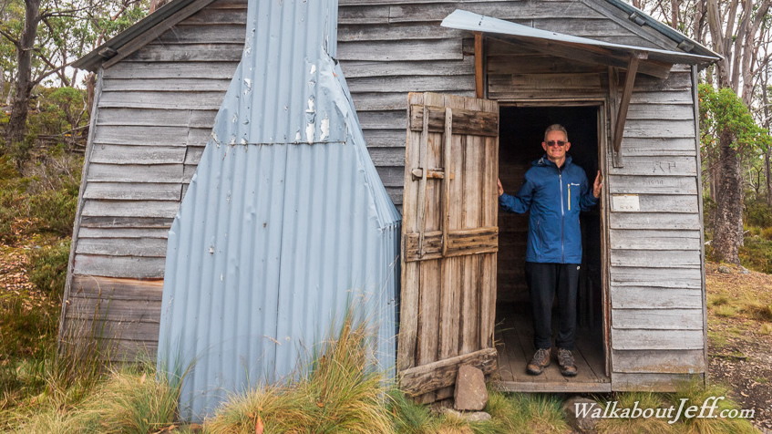
A BRILLIANT red sunrise greeted me in the early morning, the sun capturing blood red on some low hanging clouds, perhaps a warning of rain even though none was forecast for this week. Retuning to the camp for breakfast and packing up, we left early to begin today's trek even deeper into the wilderness passing through alternating cloud forest and boardwalk through knee high heathland gently to moderately rising to the top of a low hill from where we could see much of the rest of today's trek including a heathland plateau we will be descending to to cross to a deep cut valley on the other side and the jagged cliffs of Mount Oakleigh near where we will be staying tonight. The sky was by now completely overcast with clouds above the highest peaks. From the lookout, we descended to Pine Forest Moor before going up another low hill to the top of the plateau. We followed the boardwalk through the knee high tussock grass growing on dark swampy soil, making for a very boggy hike if it were not for the boardwalk. Most of the soil below us was fairly dry, but there were numerous small tarns of water around us with tiny cute trees growing out of their shallows. The track weaved its way between the tarns heading towards the approaching hill of Mount Pelion West, with Mount Ossa visible further beyond. We reached a junction with log seats where we left out backpacks and followed a short side track to the edge of the plateau to the Mersey River Viewpoint. Here we were about 1000 metres above sea level looking down into the valley about six hundred metres below us with the river at 400 metres above sea level. Forest covered the valley riding right to the edge of the plateau we were standing at the edge of. Hidden in the forest somewhere in the valley below was the remains of an old tungsten mine. Further down unseen flowed the Mersey River, starting from the hills we were heading into over the following days, and flowing downstream to its mouth at Devonport about fifty kilometres downstream. From the lookout we returned to the main track, put on our packs and continued heading southward along the boardwalk through the swampy tussock for a couple of minutes before we entered scrubby forest walking along the rocky track initally descending, then rising over a low ridge and descend to a continuation of the swampy boardwalk passing under the rising dolerite cliffs of the flat topped Mount Pelion West. We then returned into the forest and descended a little to a large stream where we filled up our water bottles. From the filling point, we started the gentle descent through the forest around a ridge as gentle rain begain to fall. The trees became taller and thicker as we dropped altitude until it became quite a substantial forest with a lot of green undergrowth. The track rounded the end of the ridge before heading up the next valley. Looking through gaps in the trees, the distant ridges were quite faint in the haze of the misty rain. Upon reahing the bottom of the valley, the forest opened out revealing several peaks of the surrounding moutains poking up above the forested valley sides. The bottom of the valley itself was swampy heathland, too wet for most trees to grow. We followed the track across the clearing, entering the bush again as light rain started falling again. After a couple of minutes going through mossy forest, we reached a bridge crossing Forth River, which starts near the top of nearby Mount Pelion West. On the other sides a tarp had been erected between some of the large trees and we stopped here under its shelter for a cooked lunch. This was the lowest point of the entire trail at 740 metres above sea level. After lunch, we packed up and pulled down the tarp before continuing along the track through the mossy forest. Rain was falling but we didn't notice it much apart from when we crossed the occasional short clearing. The track rose gently to moderately up to 900 metres above sea level before a gradual descent to where the forest cleared at a junction. Here we dropped our packs and followed the side track boardwalk towards Old Pelion Hut. The boardwalk ended at the top of a low gully where the gravel route crossed it to an old timber hut similar to the one we had started near two nights ago. It had a huge amount of character and history, with the original occupants servicing the tungsten mine accessible by another track leading directly from here. The hut had two rooms, one being the living area which included a book with the history of the hut. The second room had two sets of bunks. After exploring the hut, we headed back to our packs and continued along the main track for another half a kilometre before we reached the large camping ground with Pelion Hut facing a large grassy clearing. We headed to the group camping area and set up the tents before heading to the hut. This was the oldest hut still in service on the track, with all the others recently upgraded. Even this hut was built in 2001, replacing an older hut that had stood here before. Looking out from the hut's verandah, there was a very good view across to the dramatic rock formations of Mount Oakleigh, with the now distant peaks of Barn Bluff and Cradle Mountain poking above the forested ridges we had hiked across today. To the right of the hut the Arm River Track started heading across the side of the flat passing the unseen Lake Ayr to a road 12 kilometres away. A few days ago someone walked this track to do a food drop for our group saving us having to carry all our food for the entire six days. Returning to our camp, we had dinner watching an echidna and a wallaby around the fridge of the camping platforms. After dinner, we headed back to the hut to look out over the plain to watch the last rays of sunlight disappear from the dolerite walls of the mountains and the sky to darken. |
||||||||||||||||||
|
||||||||||||||||||