Introduction to today's journey
Today's journey heads starts at Mullen's Car Park following the Cooloola Wilderness Trail down to cross several channels of the headwaters of Teewah Stream before rising to cross a plateau, then dropping to Neeb's Waterhole, the permanent source of the Noosa River. I head to the camping ground at the lower waterhole before returning to Mullen's.
Today's Journey
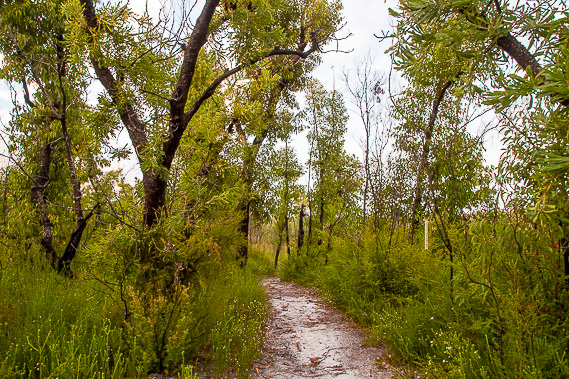 |
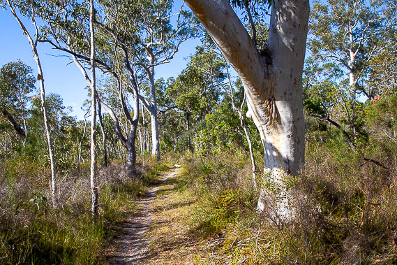
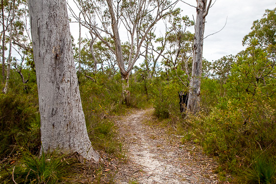
Starting from Mullen's Carpark near Cooloola village just after sunrise, I follow the sandy track down the hill through the scrubby heathland forest. |
 |
The track crosses the three streams of the headwaters of Teewah Creek, heading northward, then eastward to eventually join the Noosa River near the Cooloola Sandblow. |
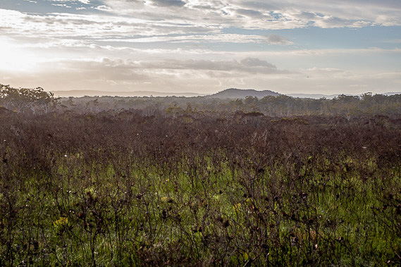 |
I rise from the headwater streams to a scrubby plateau with my first glimpse of the Cooloola Sandmass in the distance under the morning sun. |
 |
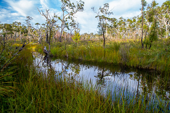
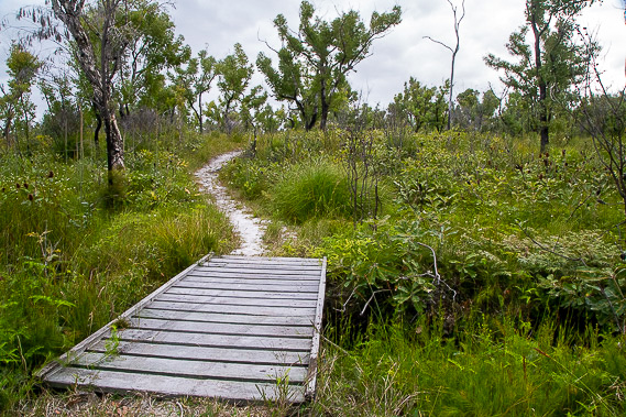
After crossing the plateau and following a low ridge, the track descends into scrubby forest following a little above a swamp. |
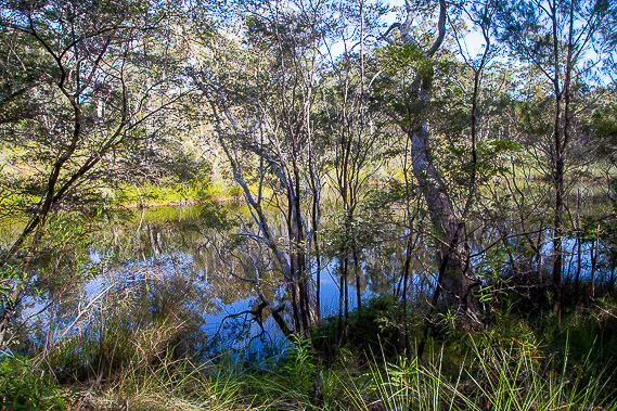 |
After another short descent, I reach the top of Neeb's Waterhole, the permanent source of the Noosa River. |
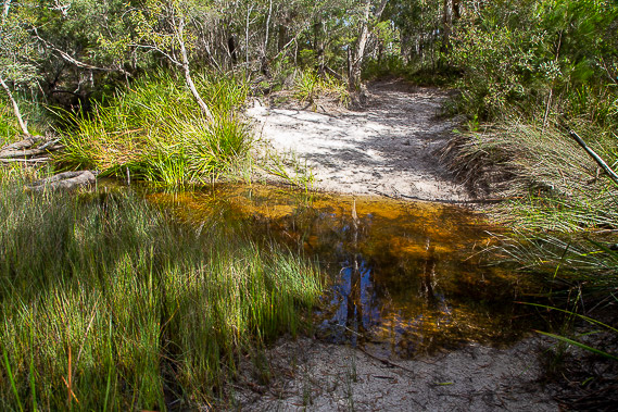 |
After following the waterhole downstream for fifteen minutes I reach the tiny ford of the Noosa River, much smaller than the Noosa River I'm familiar with downstream. |
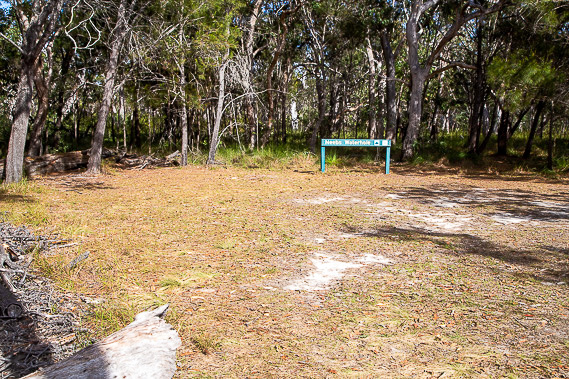 |
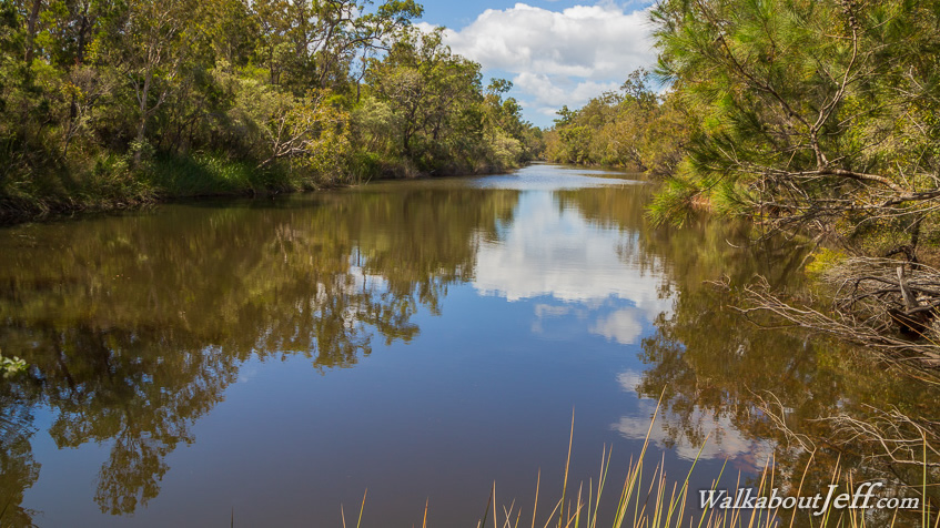
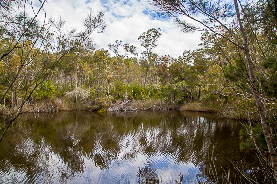
Shortly after the ford I reach Neeb's Waterhole campground, where I relax for the middle of the day overlooking the lower waterhole pictured at the top of this page. |
 |
Cloud begins to fill the sky as I look across the waterhole as I begin retracing my steps back to Mullen's Carpark. |
 |
The cloud thickens as I approach the ridge leading up to the plateau. |
 |
Crossing the last bridge of the Teewah Stream headwaters before rising along the last hill back to Mullen's which I return to just as rain starts falling. |
|