Introduction to today's journey
Today's journey takes me out from near Fremantle to explore Rottnest Island for the day before returning to Perth.
Today's Journey
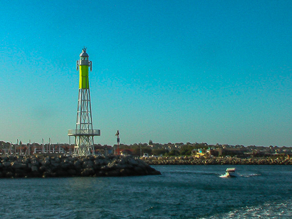 |
Returning to Fremantle in the early morning, I catch a boat heading out to Rottnest Island. |
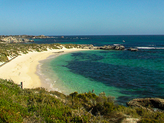 |
Arriving on the pristine Rottnest Island, made from limestone and surrounded by coral reefs. |
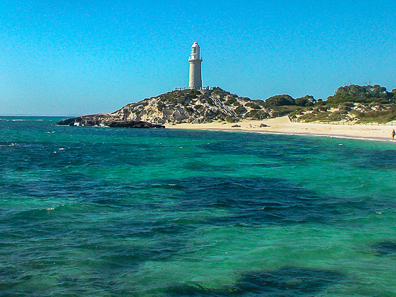 |
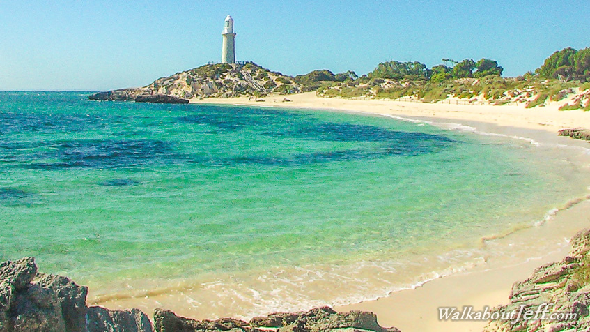
View of the Bathurst Lighthouse from Pinky Beach. The dark patches are coral reef in between the pale patches of sand. |
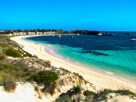 |
Exploring the coast further looking down Longreach Bay towards a resort. |
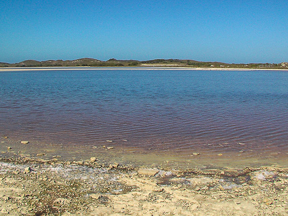 |
Heading inland from the beach I reach Herschel Lake, one of several large salt lakes on the island. the water is pink due to the very high salt concentrations. |
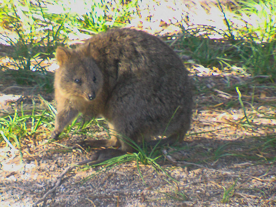 |
One of the island's friendly quokkas. Early explorers thought they were giant rats (giving the island it's name), but these are marsuipals. |
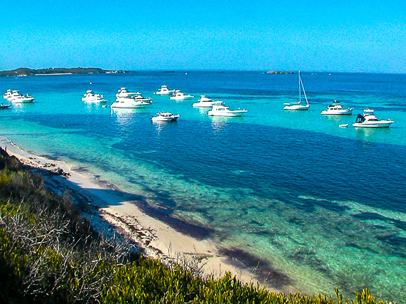 |
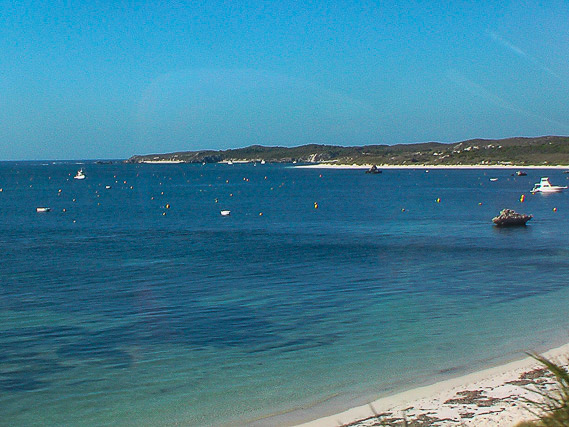
I take a bus tour around the island passing the sheltered waters of Purpoise Bay with numerous boats moored. |
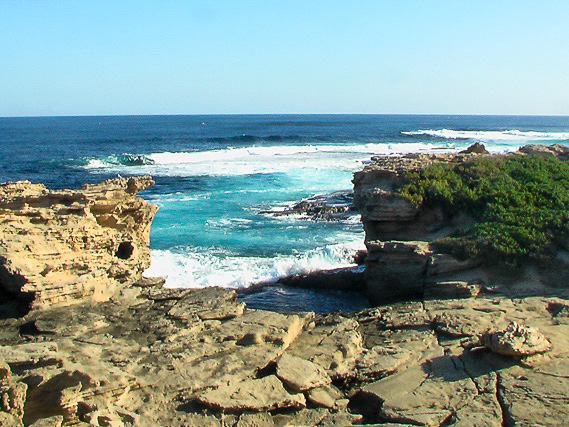 |
After passing increasingly rugged bays, we eventually reach Cape Vlamingh, the westermost point of the island jutting out into the Indian Ocean. |
 |
From the cape we continue heading around the island passing Marjorie Bay, Rocky Bay and Stark Bay. |
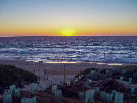 |
Returning to the wharf, I catch a boat back to Perth and manage to watch another sunset over the Indian Ocean. |
|