Introduction to today's journey
Today's journey departs Perth in the early morning to fly above the Nullabor back to Brisbane.
Today's Journey
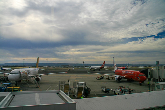 |
I head to Perth Airport in the early morning to start the long journey home across the continent. |
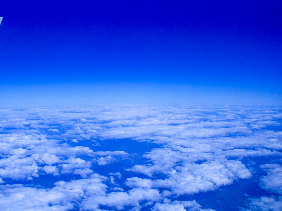 |
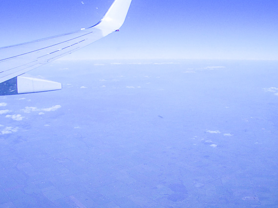
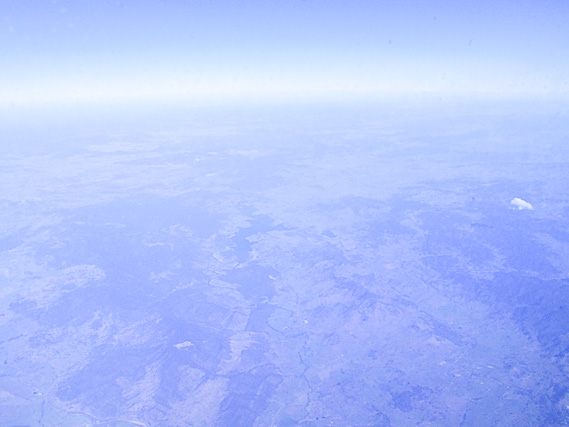
Flying above the low cloud over Western Australia. |
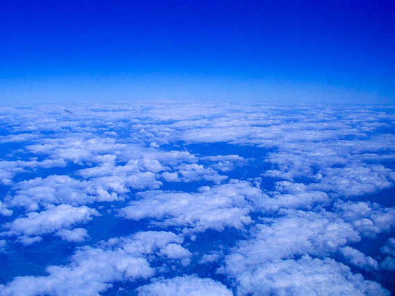 |
There is not much of a view of the ground far below us. Much of the vast land of Western Australia is featureless. |
 |
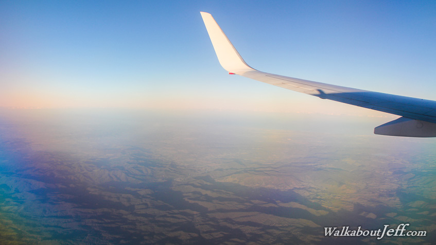
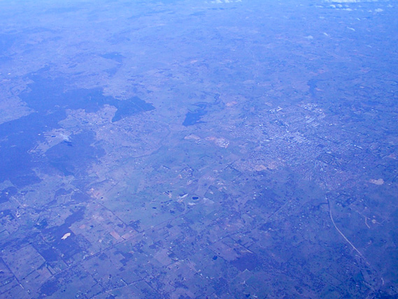
After crossing the Nullabor, we start flying over farmland over South Australia. |
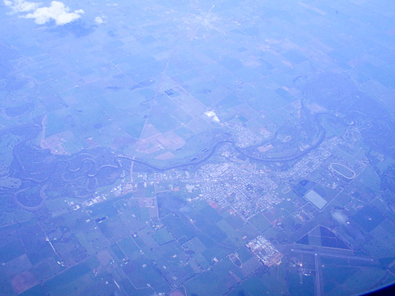 |
Flying over a small town, the first civilisation I have seen since departing Perth. |
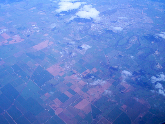 |
The farmland becomes more patterned and varied as we gradually approach the coast. |
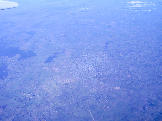 |
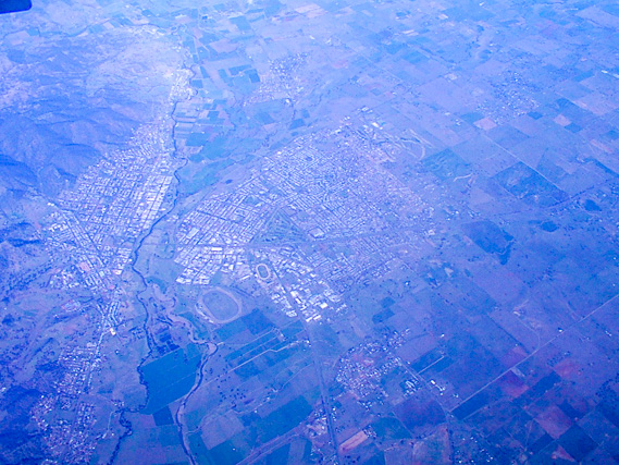
Flying over another town as we get closer towards Brisbane. |
 |
The town passes slowly under us as we fly with the jet stream. |
 |
Crossing the Great Dividing Range as we approach Brisbane. |
 |
Flying over another town as we descend towards Brisbane. |
|