Introduction to today's journey
Today's journey departs Wattamolla continuing along the Royal Coast Track over remote heathland before descending to Garie Bay, from where I take the track up to the top of the ridge and follow it to the end of the trail at Otford Lookout.
Distance hiked today: 18.3km
Total distance hiked: 220.2km
Today's Journey
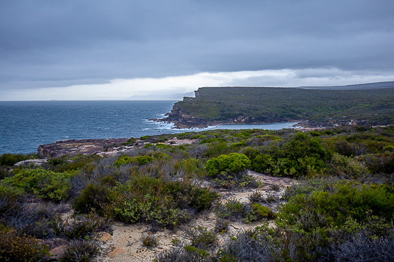 |
Returning to Wattamolla in the early morning, I continue following the coast track through the Royal National Park over the remote scrubby cliff tops. In stark contrast to yesterday's perfectly sunny weather, a southerly has blown in bringing dark grey clouds and strong winds, closely resembling the first two days of this hike, though the swell isn't big. |
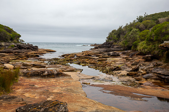 |
The trail occasionally descends to one of several small streams I cross this morning cutting gullies through the sandstone as they make their way into the grey sea. |
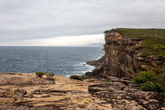 |
The cliffs along this section of coastline are very rugged, giving me some idea of what Sydney would have looked like before the urban sprawl took over what is now its eastern suburbs. |
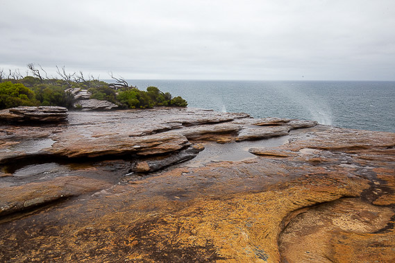 |
I cross another small stream just above where it drops over the cliff as a waterfall. This morning's strong wind blows the water back up the cliff creating an upside down waterfall. |
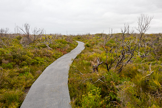 |
Heading back from the cliffs, the boardwalk makes for easy access along the low and dense heathland scrub. |
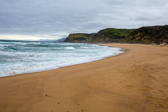 |
After a sudden long and steep descent, the track ends at the remote Garie Beach, which I follow to its other end. The remaining coastal track from here is closed due to recent landslides, but fortunately a narrow road winds its way to this beach, so I follow it up the hill towards another track running parallel to the main coast track. |
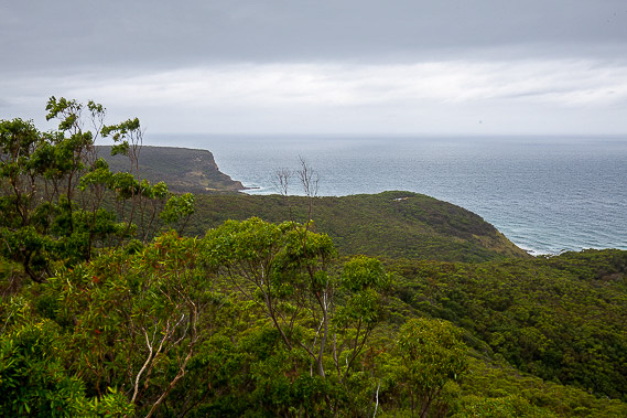 |
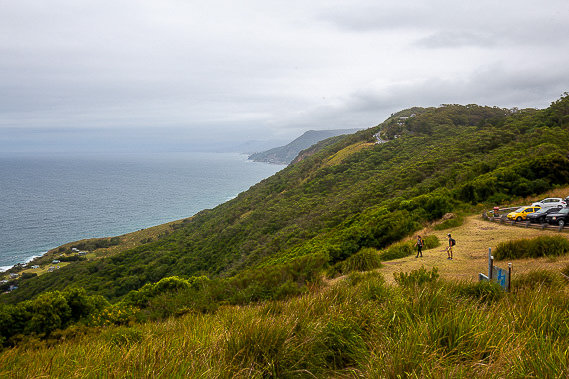
After a long trek climbing almost two hundred metres, I reach Governor Game Lookout, where I get my last look at the sea for quite a while. |
 |
From the lookout I follow the Garrawara Ridge trail which rejoins the closed coast track before gradually ascending to the 292 metre high Bulgo Hill, the highest point on the entire trek. |
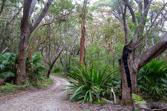 |
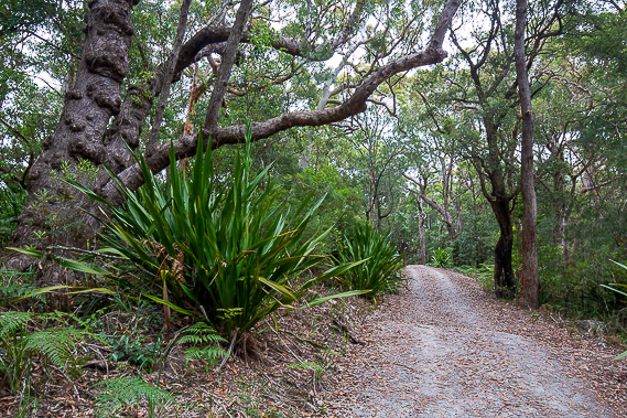
From Bulgo Hill, the track continues through the gnarly forest gradually descending for several kilometres without any views of the sea. |
 |
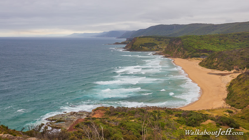
Finally after one last decent I reach the end of the trail at Otford Lookout in southern end of the Illawara. From here I have views further along the coast to as far as Woollongong. This is my final destination after eleven days of hiking 220 kilometres along the Sydney Great Coastal Walkway. |
|