Introduction to today's journey
Today's journey departs Kia Ora heading into dense rainforest following the headwaters of the Mersey River upstream, stopping at three spectacular waterfalls before crossing Du Cane Gap and descending to Windy Ridge Campsite.
Today's Journey
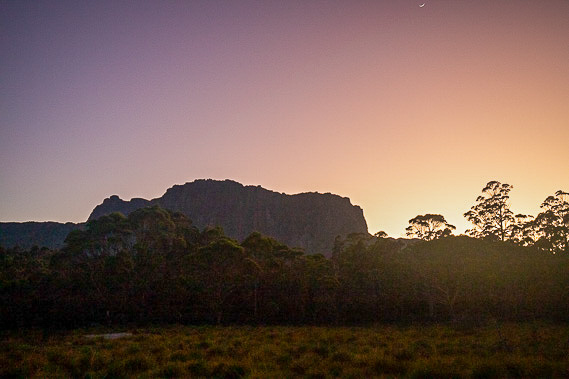 |
The morning dawns cold and clear over Cathedral Mountain before suddenly clouding over. |
 |
We depart the camping ground passing the hut before entering the dense forest. |
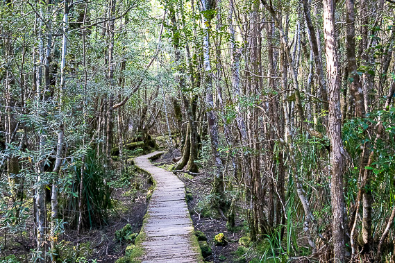 |
Boardwalk alternating with rocky track goes through the ancient forest as we head up the valley between the walls of rock rising on either side. |
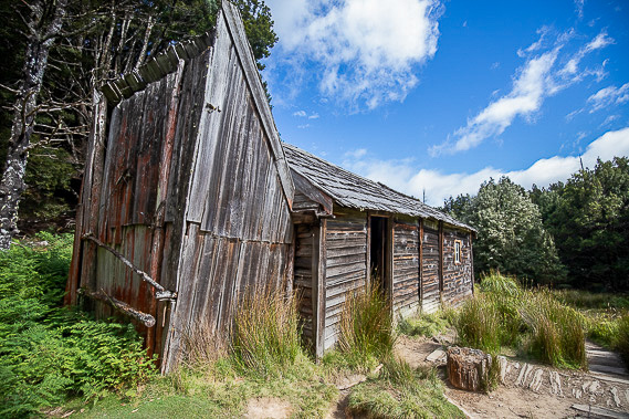 |
After much forest hiking, we suddenly arrive in a clearing and stop at the historic Du Cane Hut, once a shelter for hunters and miners hiking through this dense wilderness. The hunters nicknamed this hut "Windsor Castle". |
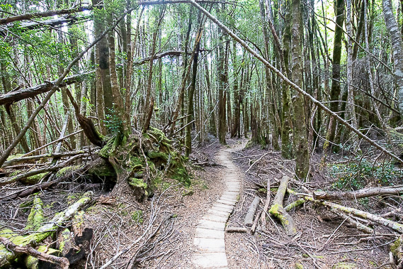 |
From Du Cane Hut, the track descends through the forest towards the bottom of the valley. |
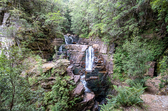 |
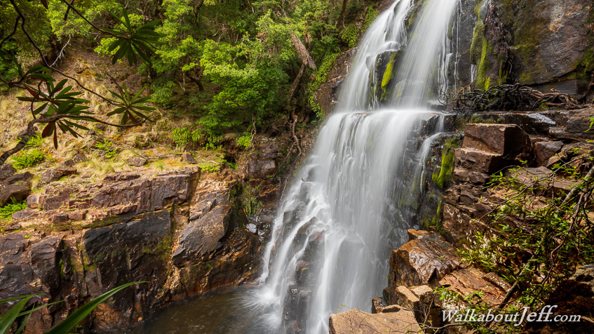
We eventually reach Mersey River, taking side tracks to a couple of waterfalls. Pictured here is Dalton Falls, followed by Fergusson Falls a little further upstream pictured at the top of the page. |
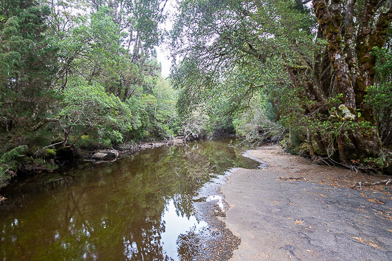 |
The track returns into the forest and comes out to this pool just above Hartnett Falls. Here we stop for lunch as light rain begins to fall. |
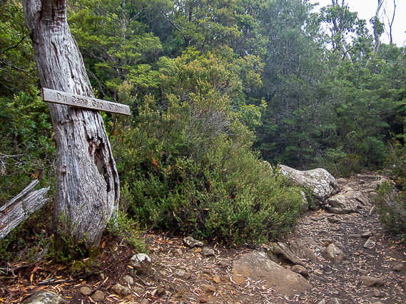 |
Leaving our lunch site, we head back into the forest and follow the trail up a gully until eventually crossing the 1060 metre high saddle at Du Cane Gap on the main dividing range. The rivers we have passed in recent days all flow to the north of the island. From here the rivers flow to the south. The streams down from here are some of the headwaters of the Derwent River flowing down to Hobart. |
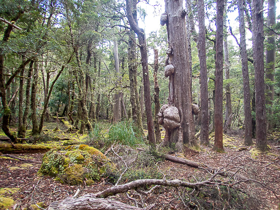 |
We head down into the valley through gnarly forest, more exposed to the Antarctic southerly weather than the forests we have previously passed in the northern side of Tasmania. |
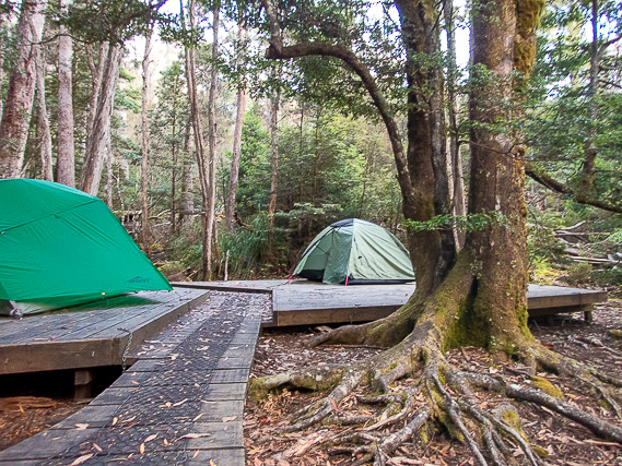 |
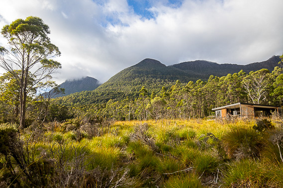
After a moderately steep descent, we reach out camping ground at Windy Ridge. Fortunately the air is dead calm here and the rain has stopped falling. |
|