Introduction to today's journey
Today's journey departs Brisbane heading north to Tokyo's Narita Airport before continuing north to Sapporo, Hokkaido's capital.
Today's Journey
 |
The plane arrives at Brisbane airport to take me to my first eastern destination in Japan. |
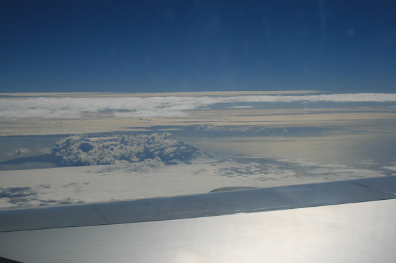 |
Flying above the Coral Sea above the layers of cloud heading northwards towards the equator. |
 |
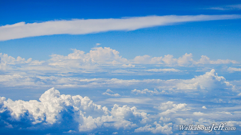
Flying over tropical cloud twelve kilometres in the sky. The Pacific Ocean is endless sea so there is no scenery I'm missing. |
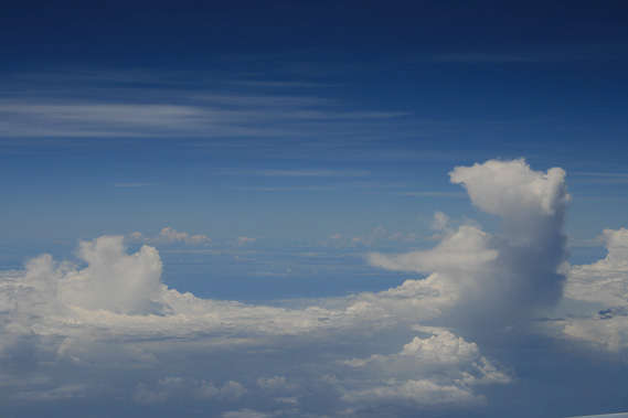 |
Storm clouds tower over ten kilometres high as I cross the equator. |
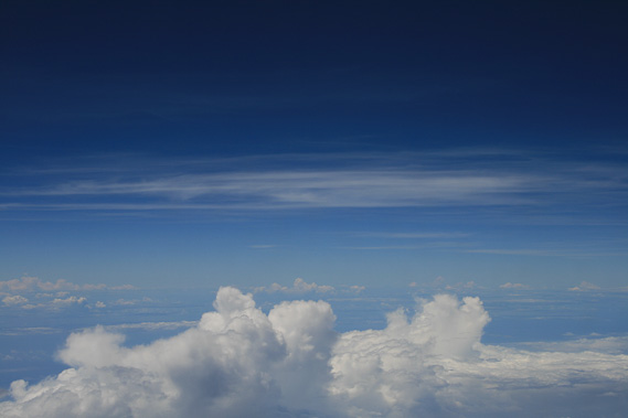 |
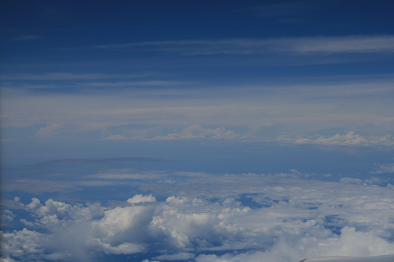
More clouds as we fly well into the northern hemisphere. |
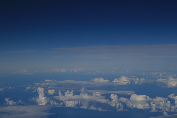 |
Lower cloud is scattered over the sea as the plane begins its descent into Tokyo. |
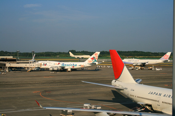 |
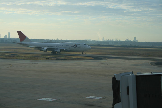
Landing at Toyko's Narita Airport. |
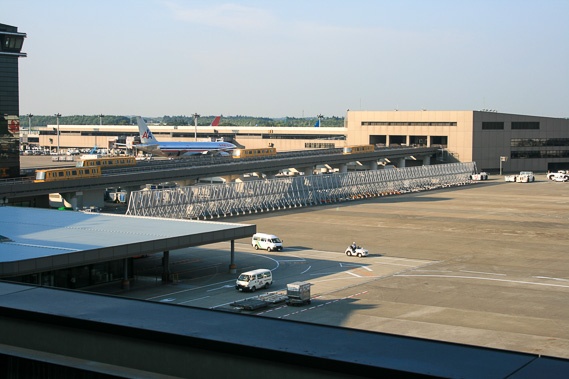 |
I've taken the skytrain into the main terminal and passed through immigration, so now ready for the next leg. |
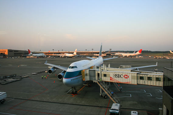 |
Catching an evening flight up to Sapporo, Hokkaido's main city. |
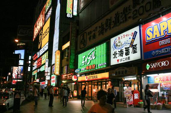 |
Sapporo city centre is very busy in the evening. Fortunately the time difference between Brisbane and Sapporo is only 1 hour, so jetlag isn't an issue tonight. |
|