Introduction to today's journey
Today's journey takes me around Kota Kinabalu and heads out into the bay by boat to a couple of the beautiful islands. I return to the city and explore one of its museums and introduces me to the new tour group I will be travelling with over the next couple of weeks.
Today's Journey
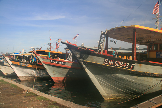 |
Exploring the foreshore in the early morning, I pass a row of fishing boats moored up to the city wharf as I look for a small boat to take me to the islands in the bay. |
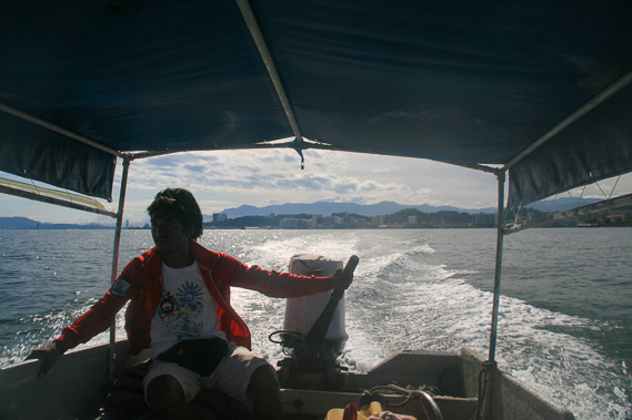 |
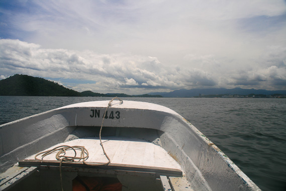
I find one and the driver takes me out from the city across the warm waters |
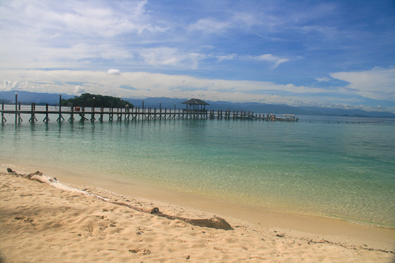 |
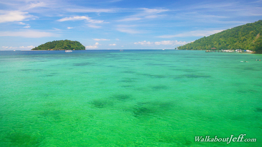
I stop at Manukan Island and explore its pristine beach and forest. |
 |
From Manukan Island we sail back towards the larger Gaya Island. |
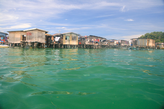 |
A fishing village in the water on Gaya Island. The houses sit on stilts on the water, with fish drying outside the tiny buildings. The villagers take the dried fish into Kota Kinabalu to sell. |
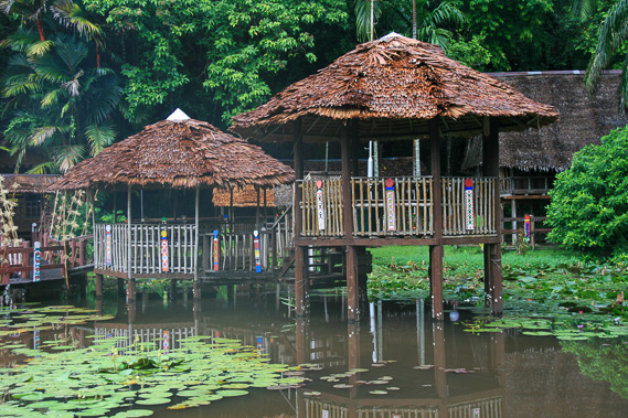 |
Returning to Kota Kinabalu, I head to the traditional village at Museum Sabah. The little huts sit in the pond. |
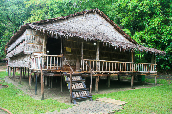 |
A larger hut set above the ground above most of the mosquitoes. |
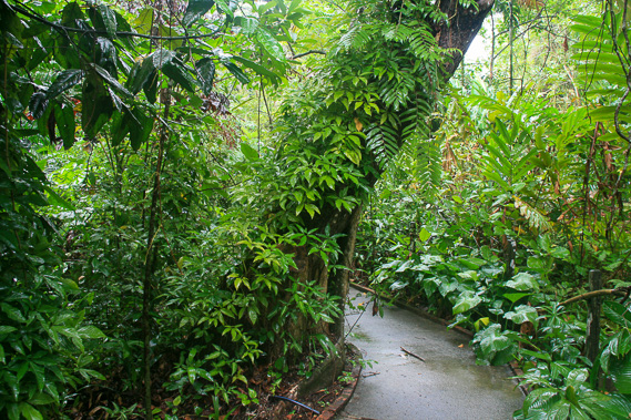 |
Following the bright green bush back to the main museum. |
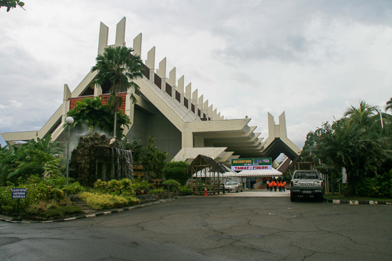 |
At the entrance of the main museum having explored the amazing collection of local artefacts in it. |
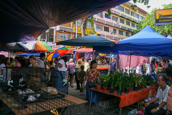 |
Walking through the markets in Kota Kinabalu. These are very busy and selling everything you can imagine. |
|