Introduction to today's journey
Today's journey takes me from Mandara Huts quickly leaving the forest behind and trekking along a steady gradient through heathland to the huts at Hormobo.
Today's Journey
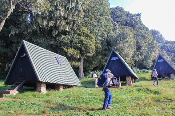 |
Departing Mandara Huts in the early morning. We are at 2700 metres above sea level, and have 1000 metres to climb today. |
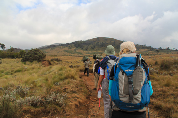 |
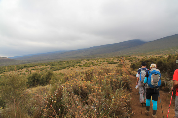
It is not long before we are above the bushline and once past Maundi Crater, we continue through heathland rising along the very long ridge leading up towards the summit of Kilimanjaro hidden in the clouds. |
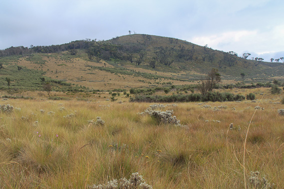 |
Tussock covers the ground amongst flowering bushes. |
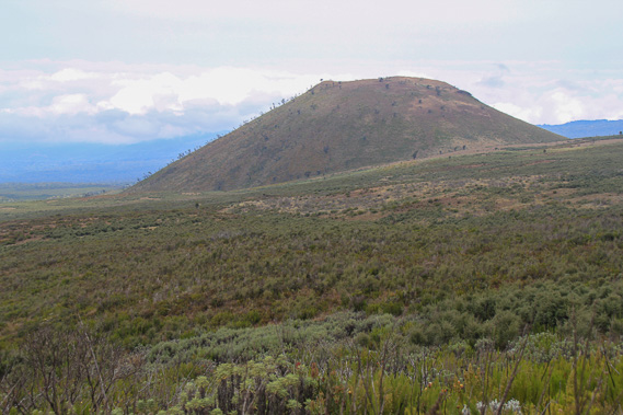 |
We pass another crater at 3000 metres above sea level. The heath is quite thick here but fortunately the track has an excellent grade. |
 |
Pressing on along the track. The cloud is not far above us and hides the summit rising from the blue ridge in the distance. |
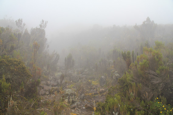 |
The cloud envelopes us at about 3500 metres altitude. |
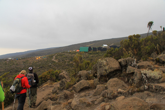 |
Continuing along the trail, we eventually reach Horombo Huts at 3800 metres above sea level. By now the heath is getting thinner than it had further down the mountain. |
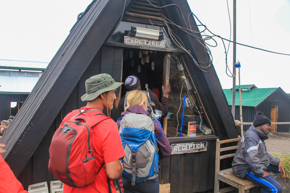 |
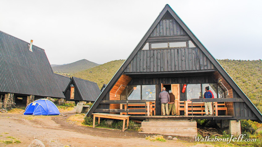
Checking in at the reception at Horombo Huts. Again our group is given two A-frame huts for the night. |
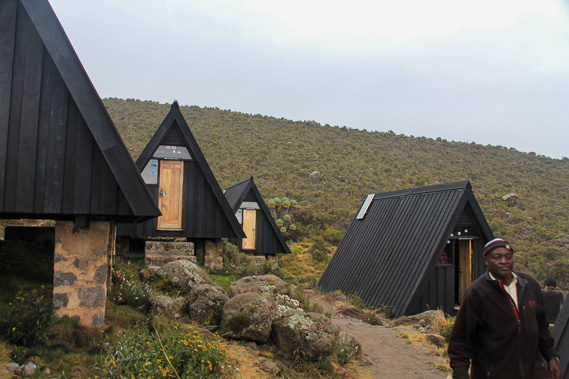 |
Settling into the tar covered huts on the mountain. |
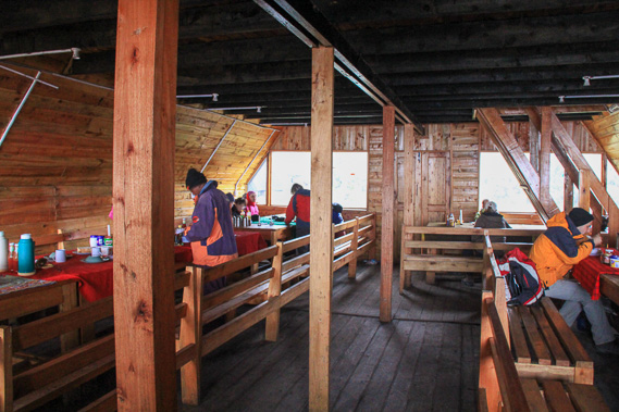 |
Having dinner inside the largest hut out of the damp coldness. |
|