Introduction to today's journey
Today's journey again explores the foreshore of Milford Sound before I follow the Milford Road through the Homer Tunnel and back to Te Anau.
Today's Journey
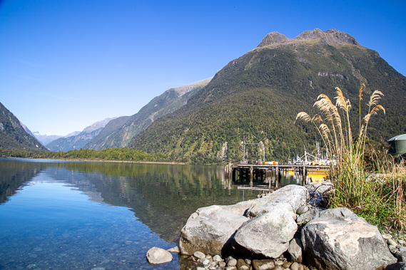 |
Exploring Deepwater Basin where the commercial harbour is based. From here I'm looking up the Arthur Valley where I had hiked down the other day. Mount Eliott is visible in the distance and Mount Phillips towers above the calm water in the near distance. |
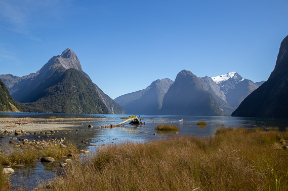 |
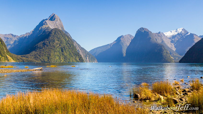
Walking around the Milford Sound foreshore as the tide comes in. The gravel was deposited here from the Cleddau River before it changed course to flow into Deepwater Basin. This headland separates the two harbours. |
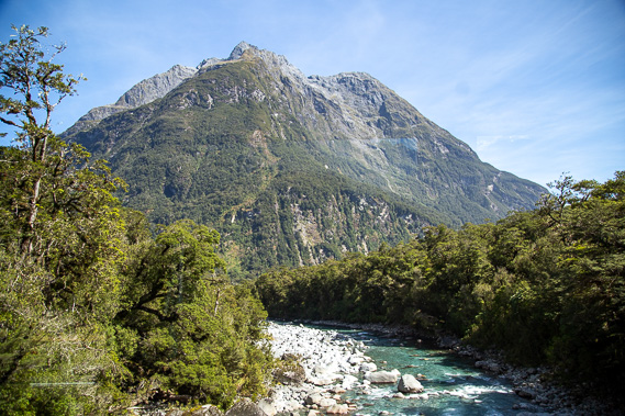 |
From the port I catch a bus following the Cleddau River upstream into the mountains. Above the river is the 1865 metre high Access Peak. |
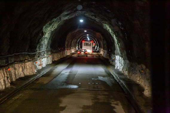 |
Reaching a cirque at the back of the valley, the road continues climbing to 810 metres above sea level before continuing to rise through the dark and narrow Homer Tunnel through the mountain. |
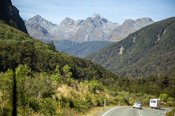 |
Upon reaching the other side of the tunnel at 945 metres above sea level, the road descends moderately following the upper reaches of the Hollyford River downstream to The Divide where I completed the Routeburn Track. Looking ahead I can see the flat Key Summit and the mountains between Lakes Mackenzie and Howden. |
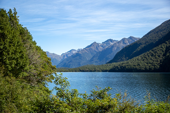 |
After a very short climb over The Divide, we pass Lake Gunn, today under clear skies. |
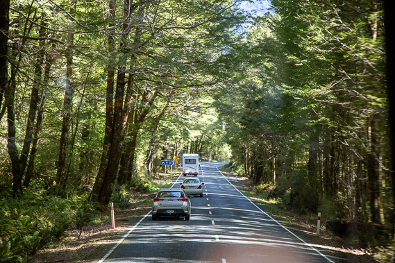 |
Driving through the dense forest in the upper Eglinton Valley as we pass the 45 degree latitude sign, half way between the equator and the south pole. |
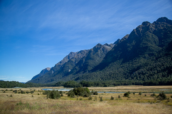 |
Reaching the tussock farmlands of the lower Eglinton Valley near Dores Pass (the mountain route to the start of the Milford Track. Ahead the mountains peter out as we approach Lake Te Anau. |
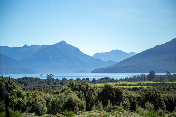 |
Reaching Lake Te Anau close to Te Anau Downs from where I had caught the boat to the start of the Milford Track nearly a week ago. |
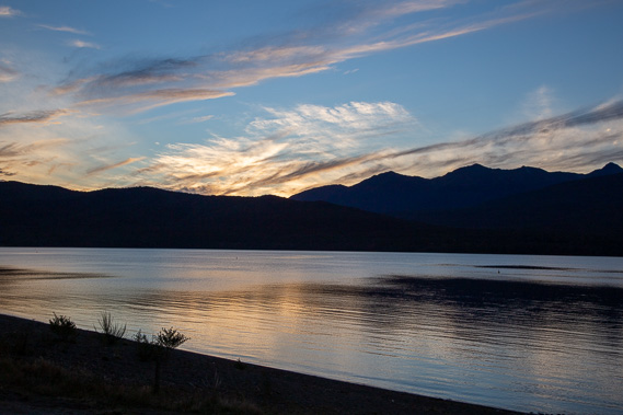 |
Returning to Te Anau where I relax beside the lake having completed Fiordland's main treks and cruises. |
|