Introduction to today's journey
Today's journey crosses Mackay Downs in the morning before crossing the ridge separating Westland from Nelson provinces. From there I have a brief descent to Saxon Hut where I stay for lunch before crossing Gouland Downs to Gouland Downs Hut. Once settled I spend the early evening exploring Enchanted Forest.
Today's Journey
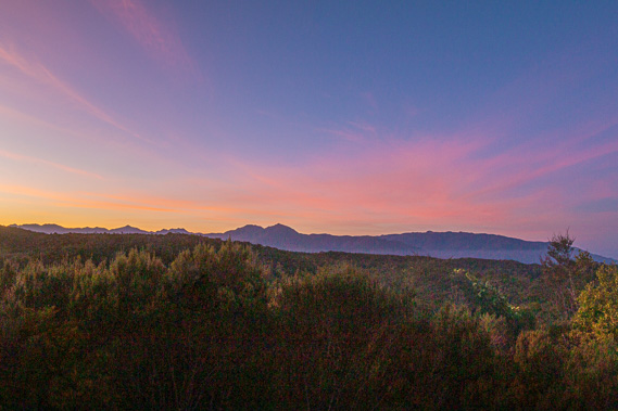 |
A cold dawn over Mackay Downs as I look across to the Gouland Range before setting off from the hut. |
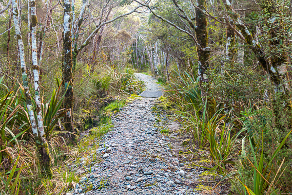 |
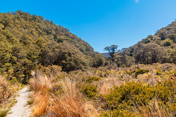
Passing through the scrubby heathland forest of Mackay Downs. |
 |
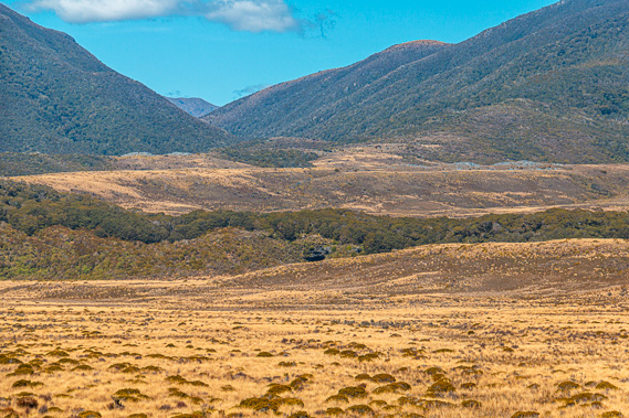
The scrub clears to swampy tussock land and the trees are stunted to bonsai size. The ice that had formed on the tussock overnight is quickly melting away under the strong sun. |
 |
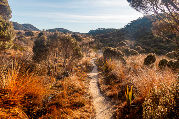
Heading out of Mackay Downs along Monument Valley towards Saxon Hut where I stop for lunch. |
 |
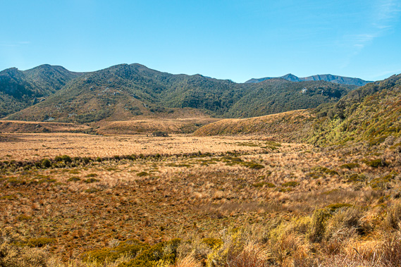
After departing Saxon Hut, I descend to Gouland Downs crossing the fields of tussock. |
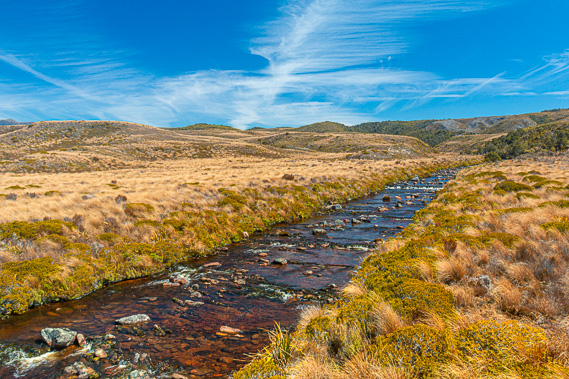 |
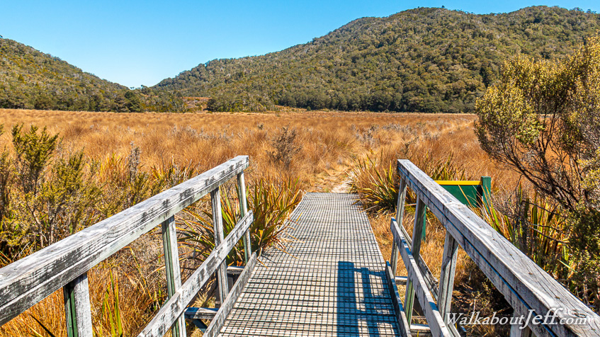
A couple of swing bridges cross the surprisingly straight channels of several tributaries making up the headwaters of Big River. |
 |
Climbing above the far side of Gouland Downs heading into Enchanted Forest briefly before reaching Gouland Downs Hut. |
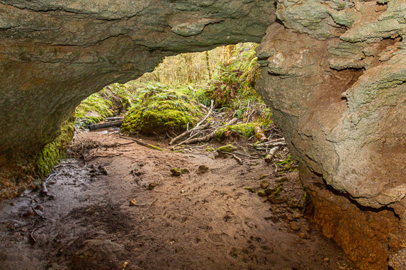 |
Once settled, I return to the Enchanted Forest and follow a cave under the track. |
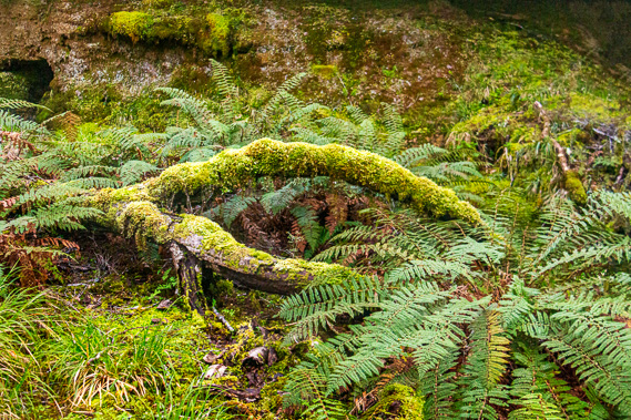 |
The cave comes out in a spectacular grotto of mosses and ferns undergrowth under the mysterious silver beech forest. |
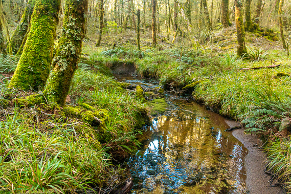 |
A stream flows between caves through this enchanted grotto. |
|