Introduction to today's journey
Today's journey takes me by boat from Kaiteriteri following the coast northwards into the Abel Tasman National Park, exploring the bays to Bark Bay about half way along the coast. I settle at the camping ground and explore the estuary in the afternoon.
Today's Journey
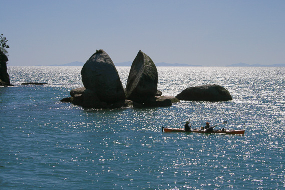 |
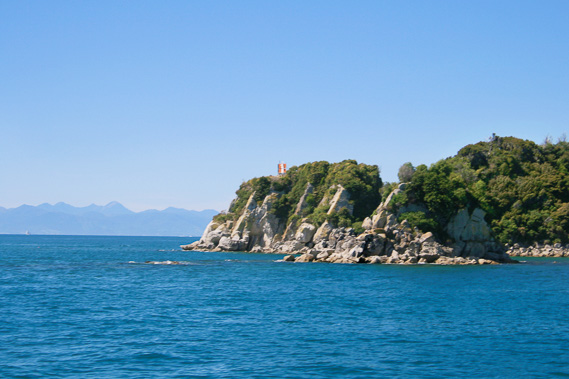
Taking the boat from Kaiteriteri, we briefly stop at Split Apple Rock with D'Urville Island in the distance marking the start of the Marlborough Sounds. |
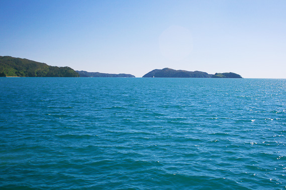 |
From Split Apple Rock, we cruise north along the coast towards Astrolabe Roadstead. |
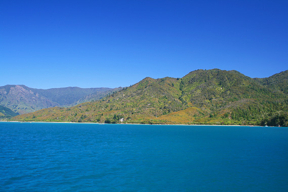 |
Passing Marahau as we approach the roadstead. This is where I will be finishing the trek in five days' time. |
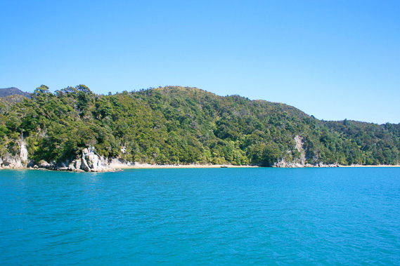 |
Passing Yellow Point in Astrolabe Roadstead with a view into Ackersten Bay. |
 |
At the end of Astrolabe Roadstead, we round Pitt Head to cruise into Torrent Bay. |
 |
Stopping just off Torrent Bay to drop off some passengers before continuing north. |
 |
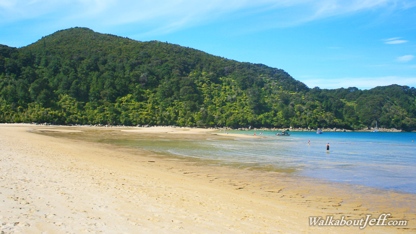
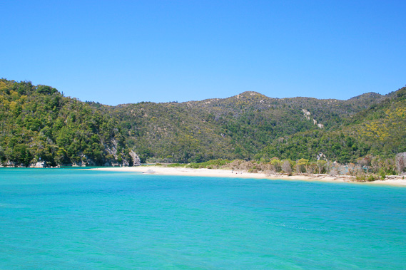
I am dropped a bit further up the coast at the pristine Bark Bay. |
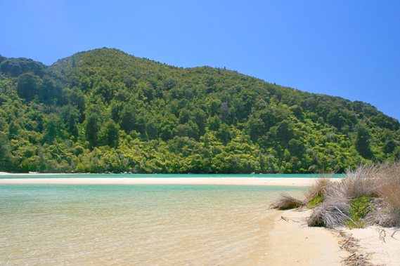 |
The tide is in and the lagoon is full of clear sea water. The bay is sheltered by bush clad hills. |
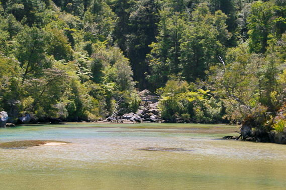 |
The tide eventually starts going out as I view the back of the estuary from a small island. |
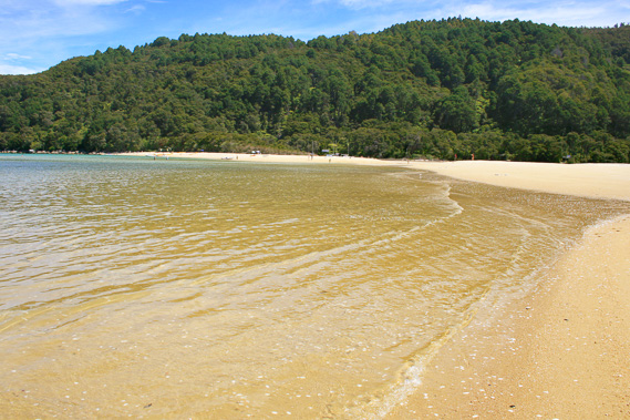 |
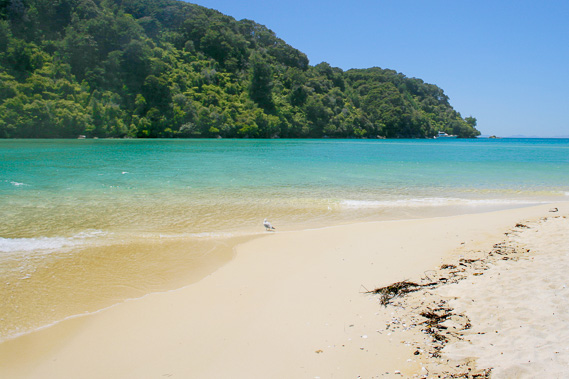
The tide is out in the late afternoon on this spectacular golden beach. |
|