Introduction to today's journey
Today's journey heads out of the Motueka Valley along a steep road rising 900 metres to the Flora Saddle Car Park. From there we hike to Flora Saddle before following the ridge of the Arthur Range to Mount Arthur Hut. From the hut we continue above the bushline along the rugged slopes of marble above the deepest caves in the southern hemisphere to the summit of Mount Arthur. After a break at the summit, we return down the mountain to Motueka.
Today's Journey
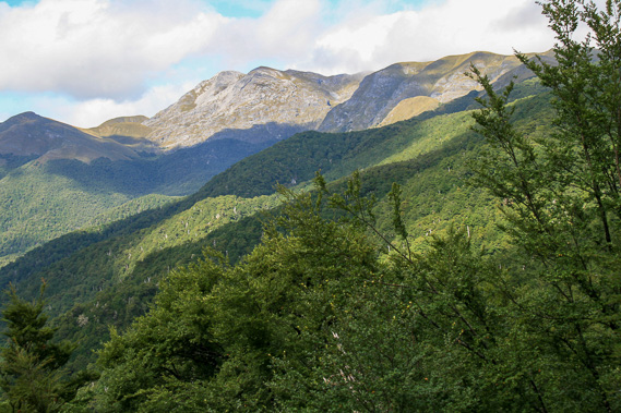 |
A short drive up a very steep road out of the Motueka Valley brings us up to the Flora Car Park at 950 metres above sea level from where we view Pearce Ridge heading away from the Mount Arthur Summit hidden to the right. |
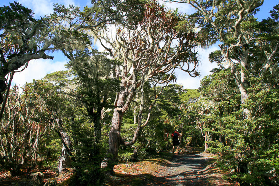 |
Hiking through the windswept forest above Flora Saddle passing 1000 metres above sea level. |
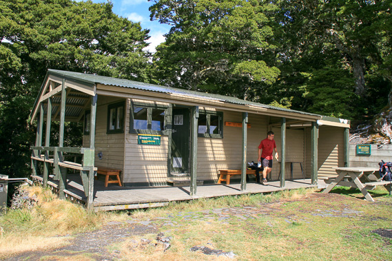 |
Reaching the Mount Arthur Hut at the bushline at 1275 metres above sea level. |
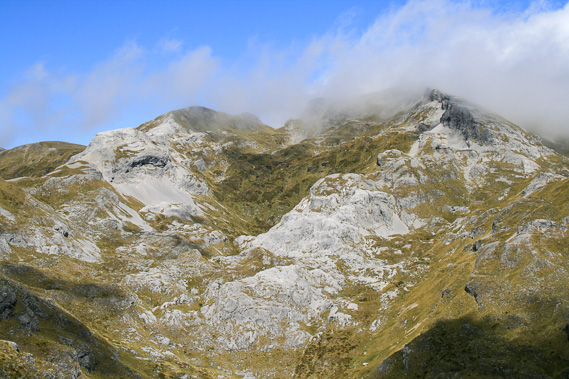 |
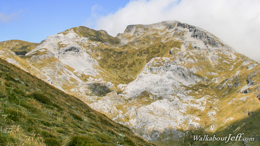
Following the route from the hut up the mountain partially covered in tussock with huge faces of grey marble exposed to the elements and covered in deep snow in winter. The cloud is now starting to clear off the summit. |
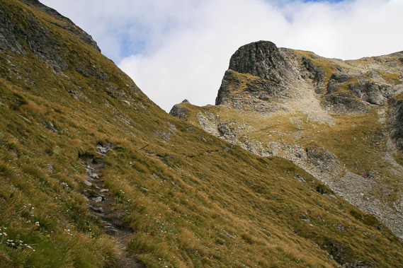 |
Following the track around the ridge. Below me is one of the world's deepest caves, recently discovered being 1300 metres deep. It is very difficult to access though. These mountains were once an equatorial coral reef about 450 million years ago. |
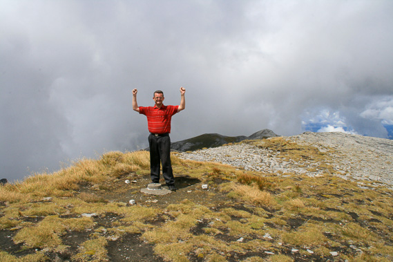 |
We made it - the 1795 metre summit is surprisingly flat after all the rugged terrain we negotiated getting here. |
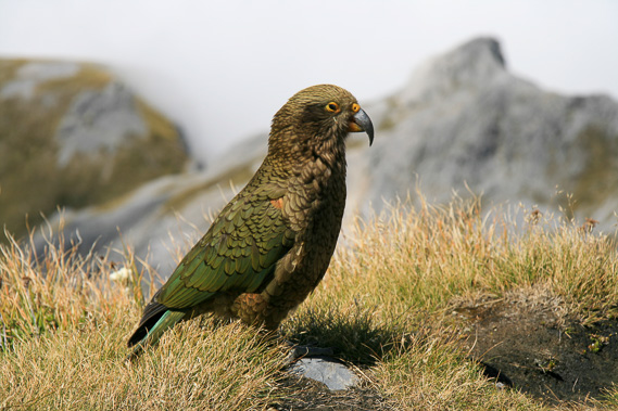 |
Several keas join us. These are New Zealand's famous mountain parrots living in the harsh conditions above the tree line throughout the south island. |
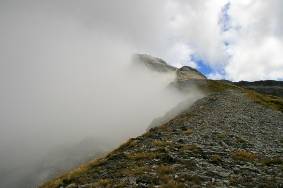 |
Returning down the mountain as cloud banks into dense fog to our left but the wind keeps the top of the ridge and to the right of it clear. |
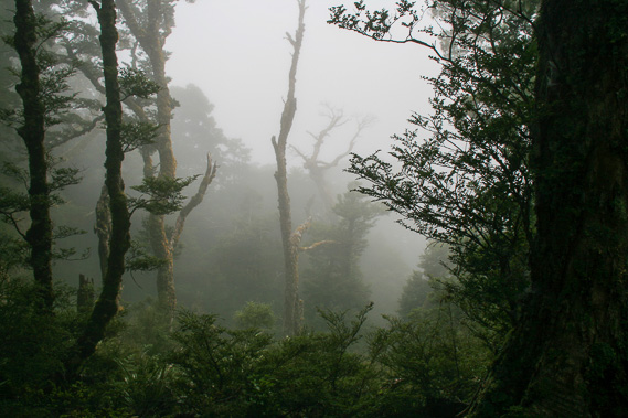 |
Returning into the forest below the hut. The cloud is very thick here making the goblin forest very eerie. |
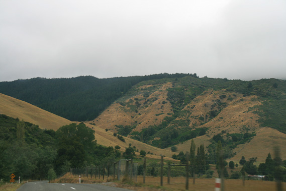 |
We return down to the Motueka Valley and head back to the coast at Motueka. |
|