Introduction to today's journey
Today's journey starts this leg at the world famous Eumundi Markets in the morning before I set off from the town following the road along the low Eumudi Range. The road crosses from the Sunshine Coast to the Noosa local governmet areas before reaching the edge of the range where I follow a track down from Sunrise Road into Wooral Creek which I follow downstream to finish the day at the Wooral Day Use Area in Tewantin.
Distance hiked today: 23.4km
Total distance hiked: 441.1km
Today's Journey
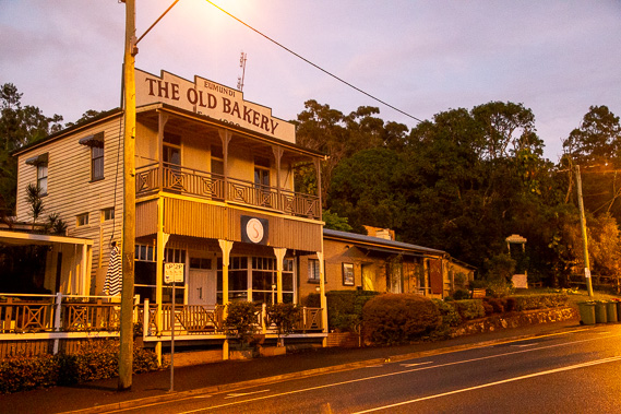 |
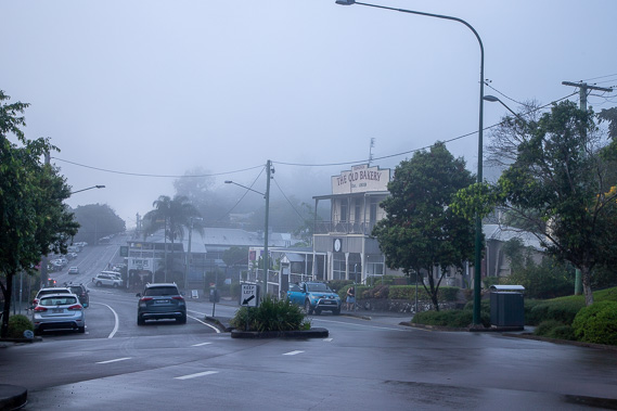
A purple dawn breaks over the historical town of Eumundi as I prepare to set out on the fourth and final leg of this section heading up towards Rainbow Beach. |
 |
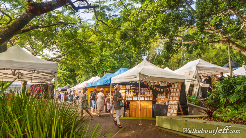
Rain starts falling shortly after sunrise, so I seek shelter in the village as all the traders in the markets brave the weather and set up their stalls. |
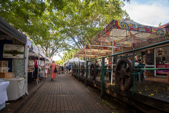 |
The rain does clear and I spend a couple of hours browsing the world famous Eumundi Markets before setting off towards Rainbow Beach. Crowds quickly build as I explore the myriads of stalls. |
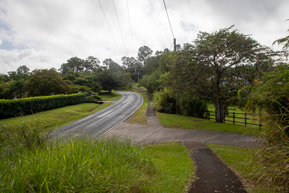 |
From the markets I follow the path along Eumundi Range Road, rising through the lush green farmland. |
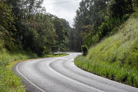 |
The path does end, but I continue following the road, turning off along Sunrise Road winding its way over the hills towards Tewantin National Park. |
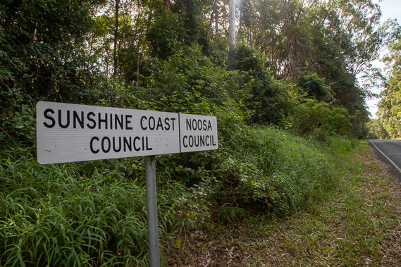 |
About twelve kilometres out of Eumundi, I cross the boundary between the Sunshine Coast and Noosa local government areas, leaving the Maroochy River catchment and entering the catchment of the Noosa River and everglade. |
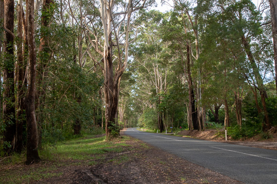 |
I continue following Sunrise Road along the top of the range for several more kilometres before reaching Tewantin National Park. |
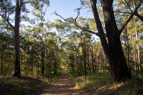 |
Upon reaching the national park, I follow Wooroi Forest Drive for about a kilometre before it ends at a communications tower. From here I follow the Wooroi Track down the hill off the range. This is one of the few tracks you can walk on here. Most of the other tracks are mountain bike trails. |
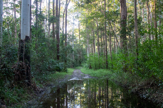 |
The forest at the bottom of the range is quite swampy as I pass the headwaters of Wooroi Creek which flows into the Noosa River at the ferry crossing to Noosa North Shore. Large puddles fill the track but I'm able to navigate my way around them and stay dry. |
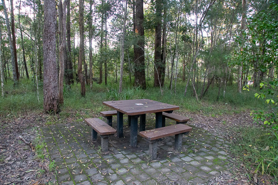 |
I reach the Wooroi Day Use Area where I officially finish today's trek, and have dinner here before heading across the road to stay the night at my accommodation. |
|