Introduction to today's journey
Today's journey takes us out of Bariloche following the shores of Lago Nahuel Huapi anticlockwise eventually leaving the lake and passing a few more lakes with a lunch break at the last of these lakes at Lago Lacar just out of San Martin de los Andes. From there we head back out into prairie land until heading back towards the mountains climbing towards a pass covered in a forest of monkey puzzle trees under the spectacular Volcan Lanin. We cross the border back into Chile at the top of the pass. Once across the pass we follow the forested valley down the other side passing under Volcan Villarrica before arriving at Pucon, our base for the next couple of days at the northern end of Patagonia.
Today's Journey
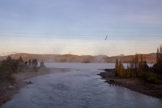 |
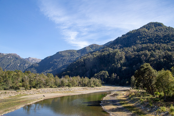
We leave Bariloche at sunrise with a light mist hovering over the lake as we follow it anticlockwise to its other side. Here we are crossing the lake's outlet at the start of the Limay River, the southern branch of Rio Negro which flows out through Argentina's pear and apple growing areas to the Argentine coast now 700 kilometres away as the crow flies and 1015 kilometres downstream. |
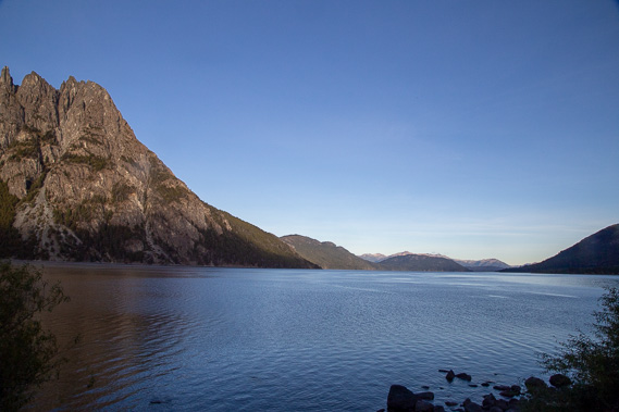 |
We depart Nahuel Huapei lake to cross a small peninsula before returning to it at Mirador Paso Coihue. |
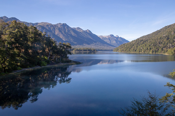 |
Another stop at Mirador Lago Correntoso. Rio Ruca Malen flows in at the other side of the nearest point. |
 |
Crossing Rio Pichi Traful another hour along the road. Here it is all mountains, lakes and rivers as the Andes continues to be raised out of the Pacific Ocean distorting the South American continent. |
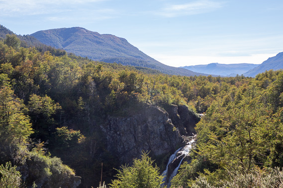 |
Another stop at Cascada Vullignanco as the mountains begin to part and we head into northern Patagonia. Here a small waterfall plunges into a ravine. At about this point we cross the 40 degree latitude line. The vegetation is now changing reflecting a warmer and dryer climate which will eventually morph into desert as we continue heading north. |
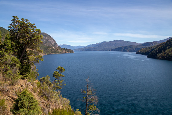 |
We eventually reach Lago Lacar which we follow high above until reaching this bluff where we stop for lunch. From here the road descends into the town of San Martin, the last outpost of civilisation for a long time. |
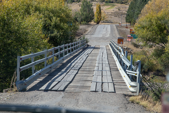 |
After leaving the town we return into prairie land but the highway is getting a bit rough in this remote area, particularly as we cross Rio Malleo draining Lago Tromen as we follow it upstream back into the mountains. |
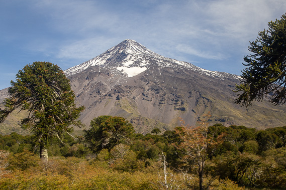 |
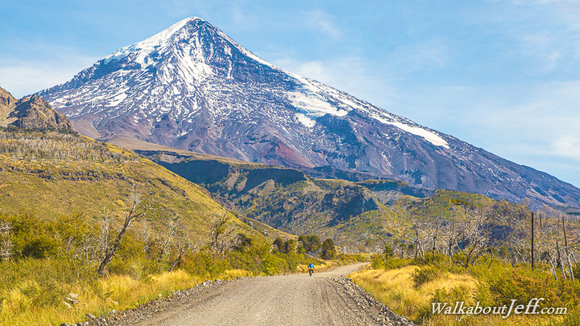
For a long time we head towards the 3747 metre high Volcan Lanin until reaching the top of the nearby 1207 metre high saddle covered with native monkey puzzle trees, and the Cristo Paso Muluil Malal statue right on the border. Shortly before this saddle we pass through another relaxed Argentine border crossing at Aduana Mamuil Malal, and shortly after this saddle we go through the armed Chilean border at Complejo Fronterizo Mamuil-Malal Aduana. |
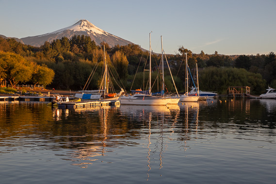 |
The remote saddle quickly gives way to fertile farmland as we descend passing Volcano Quetrupillan before catching sight of the magnificent 2847 metre high Volcan Villarrica. We stop for the night at the tourist town Pucon at its base. I catch the sunset at the town's marina beside Lake Villarrica. |
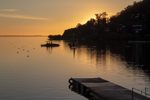 |
The sun sets beyond the point in the large and still Lago Villarrica. It is a lot warmer here on this side of the mountains having descended to 230 metres above sea level. |
|