Introduction to today's journey
Today's journey takes me on one final look along the coast at Hangaroa before returning to the airport and flying across the Pacific Ocean back to Santiago. From there I change planes and fly up to the northern desert town of Iquique, before boarding a short international flight up into the heart of the Andes landing at La Paz in Bolivia.
Today's Journey
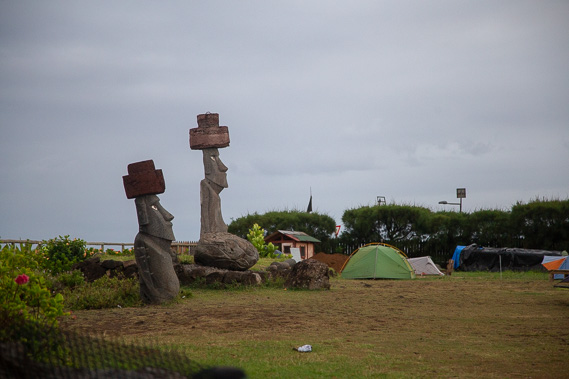 |
Two Moai at the local camping ground in Hangaroa on my final morning here. |
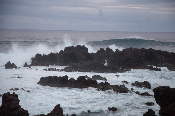 |
Watching the swell break over the scoria reefs looking across the vast Pacific Ocean. |
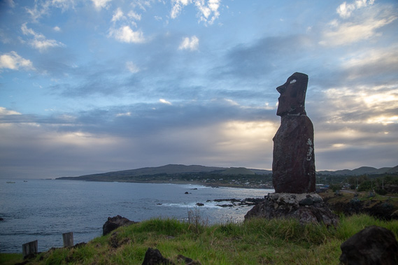 |
Sunrise over the island viewed from Hangaroa as unsettled weather approaches. |
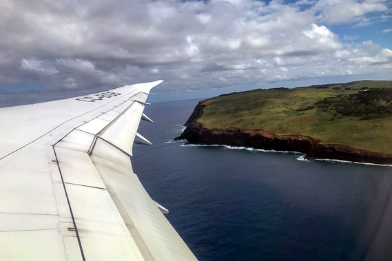 |
I catch the morning flight out of Easter Island, with a final view of Rano Kau starting the 3700 kilometre journey back to Santiago. |
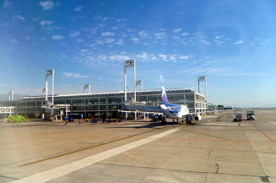 |
Landing at Santiago Airport in the afternoon where I quickly change to another domestic flight heading northward to Iquique. |
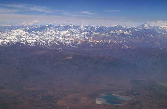 |
Taking off from Santiago, we follow the Andes heading northward. Although I spent several weeks travelling up the southern end of the Andes, there is no sign of this mountain range ending. It is the longest mountain range in the world extending the entire length of South America's west coast. |
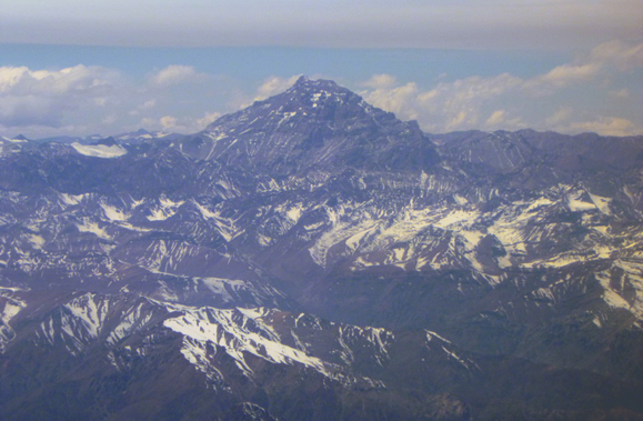 |
Passing Mount Aconcagua, the highest mountain outside the Himalayas standing at 6961 metres high and towering above all the other mountains which only stand 3000 to 5000 metres high. |
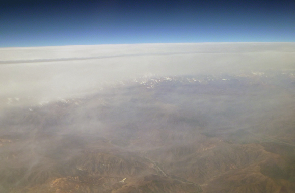 |
Looking out the other direction, the coastal cloud extending most of the length of the continent covers the lowlands. |
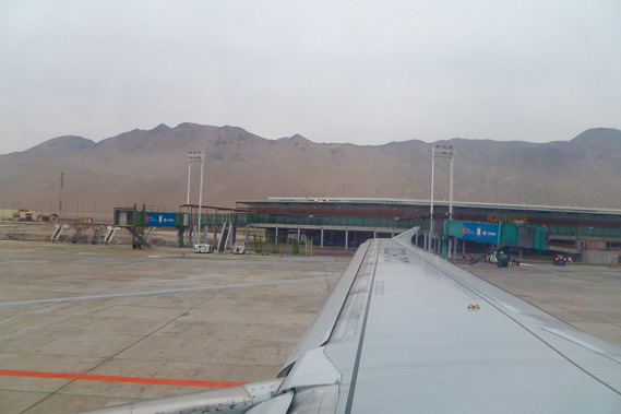 |
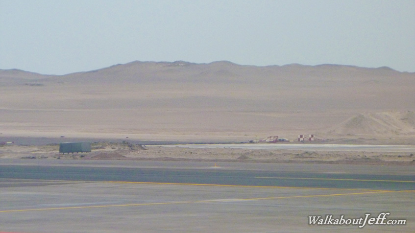
Landing at the airport of Iquique after almost 1500 kilometres out of Santiago. Although we are right on the coast and the sky is overcast, this area only gets 1 to 2 millimetres of rain every year. This is part of the Atacama Desert, the driest place on Earth. |
 |
After passing through immigration, I catch a short late evening flight up into the Andes landing at the Al Alto Airport above La Paz just 791 kilometre away. At 4100 metres above sea level this is the highest airport in the world. Most of the air rushes out when the doors open and I have a bit of a headache from the low air pressure at this altitude where the pressure is only about two thirds of that at sea level. From here I catch a taxi into La Paz. |
|